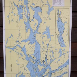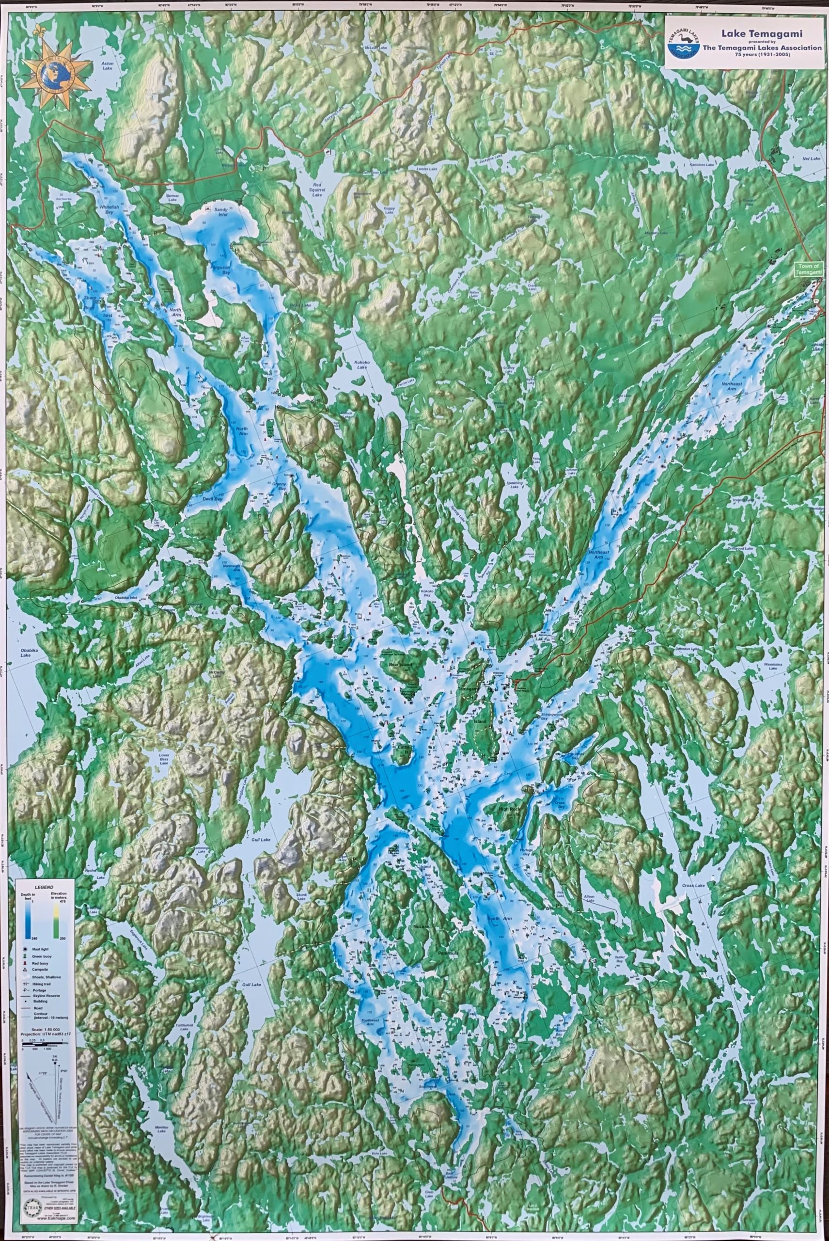
Lake Temagami Decorative Wall Map
Price range: $25.00 through $35.00
Order a 75th-anniversary wall map online. Map Dimensions: 26.5” (66.25 cm) wide x 39.25” (98.13 cm) long.
Maps can be picked up at the TLA Headquarters Building during the summer months. Please contact the TLA if you want an item shipped to a Canadian address (for an additional fee). Regrettably, due to changes in customs procedures, merchandise cannot be shipped to the United States at this time.
Description
Sources for Other Topographic Maps of the Temagami Region:
The following maps can be accessed at the Federal TOPORAMA Website or to find and purchase maps go to: Federal Maps
An ortho-image (color enhanced satellite photo) may also be available for each map at: Dad’s Outdoor and Convenience Store
041P08 – Lady Evelyn Lake
041P07 – Lady Evelyn River
041P01 – Obabika Lake, North Arms Lake Temagami
041I16 – Hub and South Arms of Lake Temagami
031L13 – (Ingle Lake) – Shiningwood Bay and NE Arm
Attention Map Lovers – Try These Sites
SUGGESTED BY OWEN FUNNEL
Provincial CLAIMaps
This provincial CLAIMaps site uses a map database which can be zoomed and panned to a very large scale and shows the boundaries of all land holdings, including mining claims and patented land. It shows no contours or place names and the map is foreshortened vertically, but there is a procedure to print true-to-scale. Perhaps the most useful. feature is one which measures the distance between two points, and also easily gives the length of a multi-segment path.
Federal TOPORAMA – Topographic Maps
This federal TOPORAMA site gives the published topomaps at three scales, including 1:50,000 (about 1 mile to an inch), and is searchable by mouse click, map number, coordinates or place name. Contours are not numbered, but an abundance of trails and water hazards are shown for the lake Temagami area.. The topo can be toggled to a colour satellite image of the same area and scale. Both views are somewhat vertically foreshortened.
Land Information Ontario (LIO)
This is your gateway to maps, satellite imagery, road and trail network info, and much more.
Make a your own topographic map.
The map shows topographic information, such as roads, trails, lakes, rivers, wooded areas, wetlands and provincial parks, as well as municipal and township boundaries.
How are places named?
Find out about the Ontario Geographic Names Board and their work.
Related products
-

Lake Temagami Shoal Map
Price range: $30.00 through $40.00 Select options This product has multiple variants. The options may be chosen on the product page -
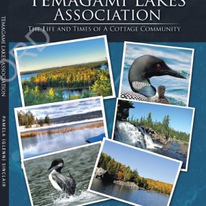
TLA History Book
Price range: $15.00 through $30.00 Select options This product has multiple variants. The options may be chosen on the product page