BREAK-UP WATCH 2024:
The TLA is continuing a 20+ year tradition of monitoring ice break-up on Lake Temagami. Warm weather and consistently-poor ice conditions this winter portend an early ice-out date for 2024.
We have our stalwart team of reporters stationed in the South, Southwest, North Arms, and the Hub sharing boots-on-the-ground progress. In addition, we look forward to providing drone, aircraft, and satellite imagery, weather permitting.
Our expert observers and their “Official Ice-Out” predictions are as follows:
- Bob Farr (Bear Island): April 23
- Jackie Hodgins (Wanapitei): April 22
- Don Johnson (SW Arm): April 21
- Nolan Jorgenson (SW Arm): April 18
- Ron Miller (Aerial Photos): April 19
- Aaron Nelles (Bear Island): April 20
- Bruce Rice (South Arm): April 14
- Sacha Stephens (Western Hub): April 22
- Penny St. Germain (Wabikon): April 19
Note: Our definition of ice-out is no remaining ice on Lake Temagami. Ice-out last year was May 8th.
Stay tuned for regular updates on the TLA website, TLA Member Community (www.facebook.com/groups/211206275926832), Temagami Talk, and Our Temagami Facebook pages.
Comprehensive historical data is available on the TLA website: https://tla-temagami.ca/environment/water-issues
~ Paul Tamburro
******
Ice Out 2024!
Ian Carswell confirmed that the last remaining visible ice in the North Arm went out late yesterday morning.
It’s gonna be cold tonight (April 23, 2024), so there may be a little new ice formation in the back bays – but, Lake Temagami is ice-free as of yesterday afternoon (April 22).
Congratulations to Jackie Hodgins and Sacha Stevens for correctly predicting the date this year. Also congratulations to whomever the lucky winner(s) are with the pool at Loon Lodge. (The other big winner is the Temagami Area Fish Involvement Program: https://www.tafip.org/home.)
Ice-out occurred 16 days earlier than in 2023 (May 8th). Our earliest recorded ice-out was April 11, 2012.
Scroll down for complete listings of ice-in and ice-out dates.
Enjoy the season, and safe boating!
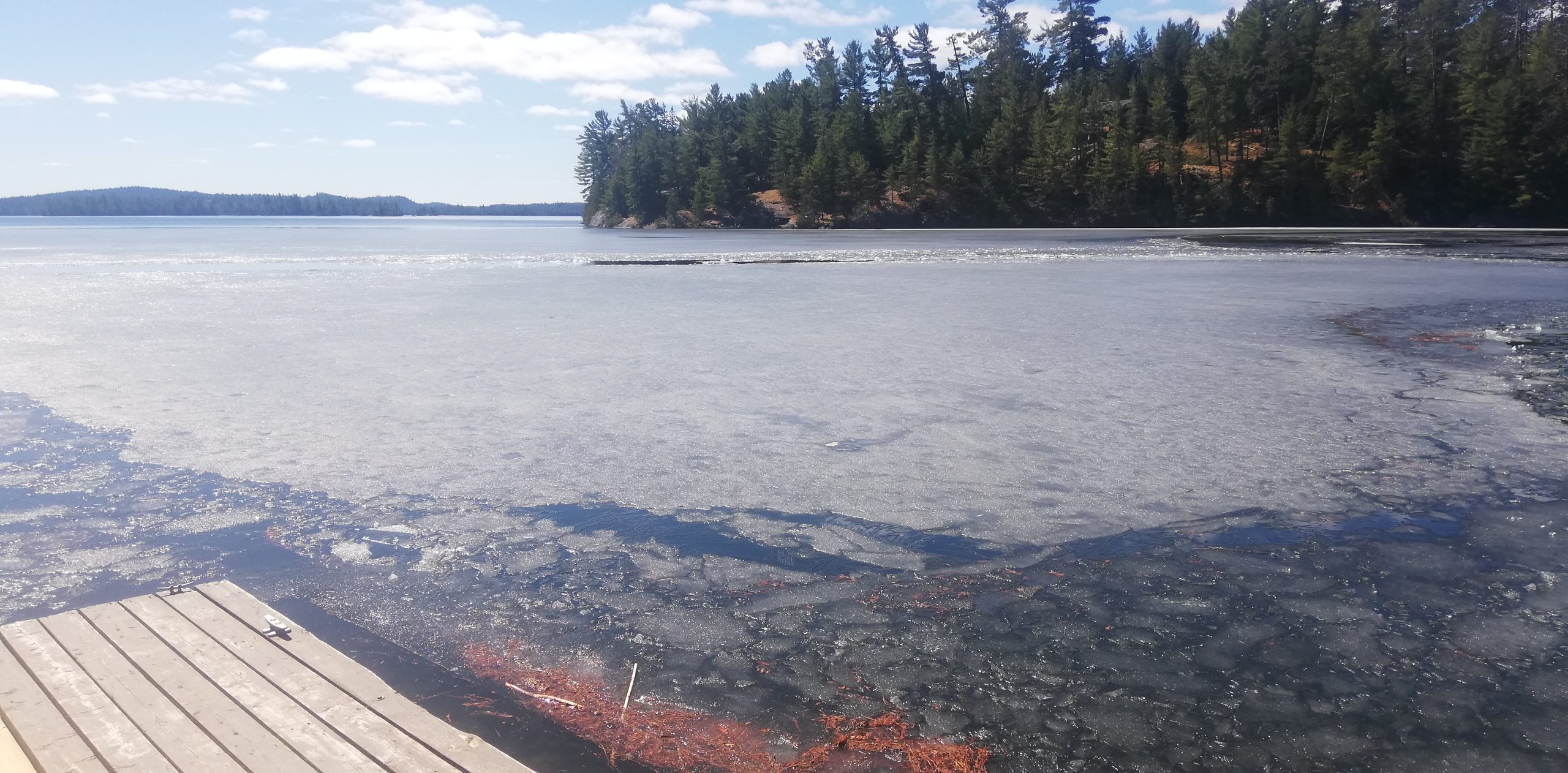
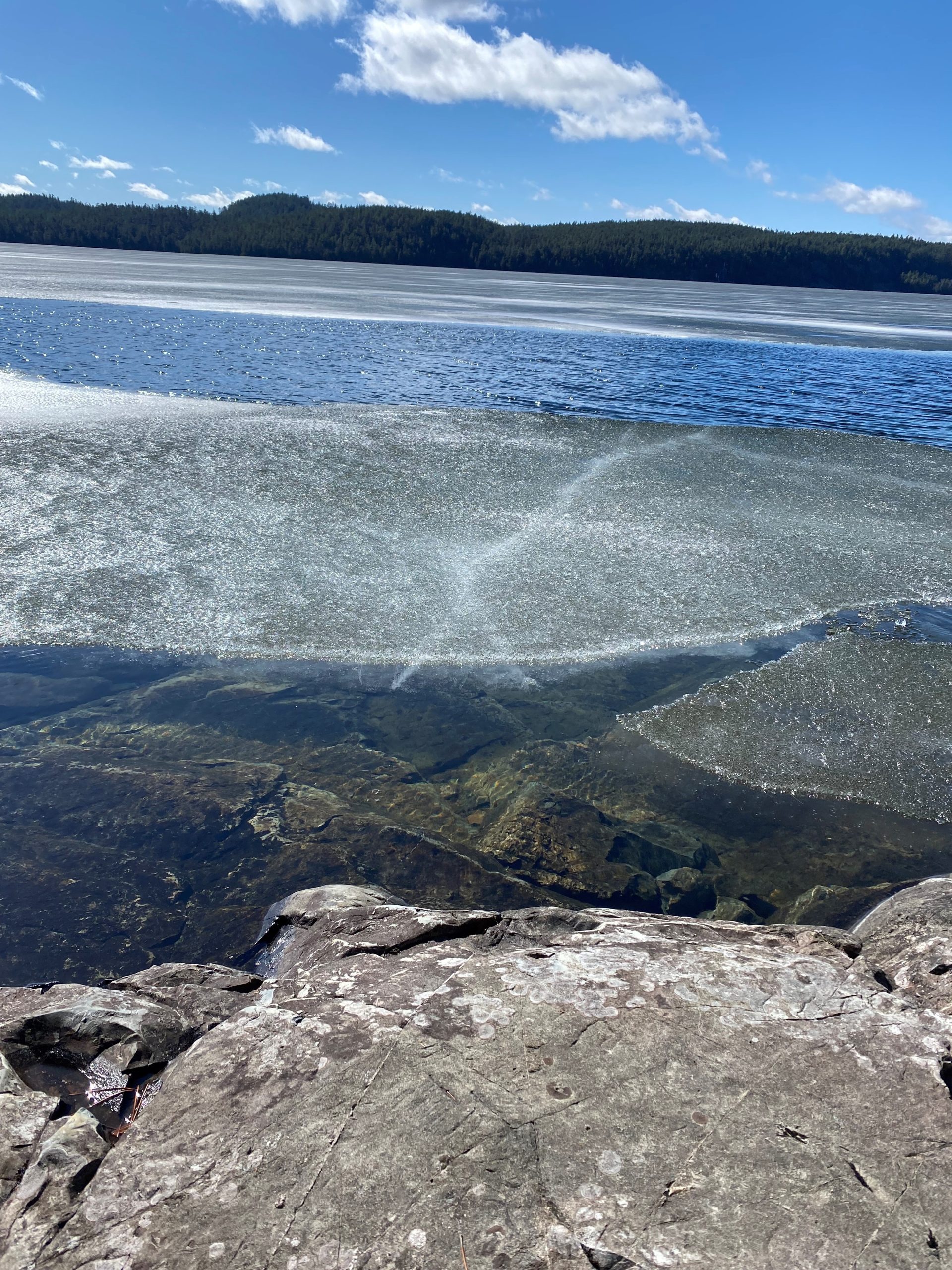
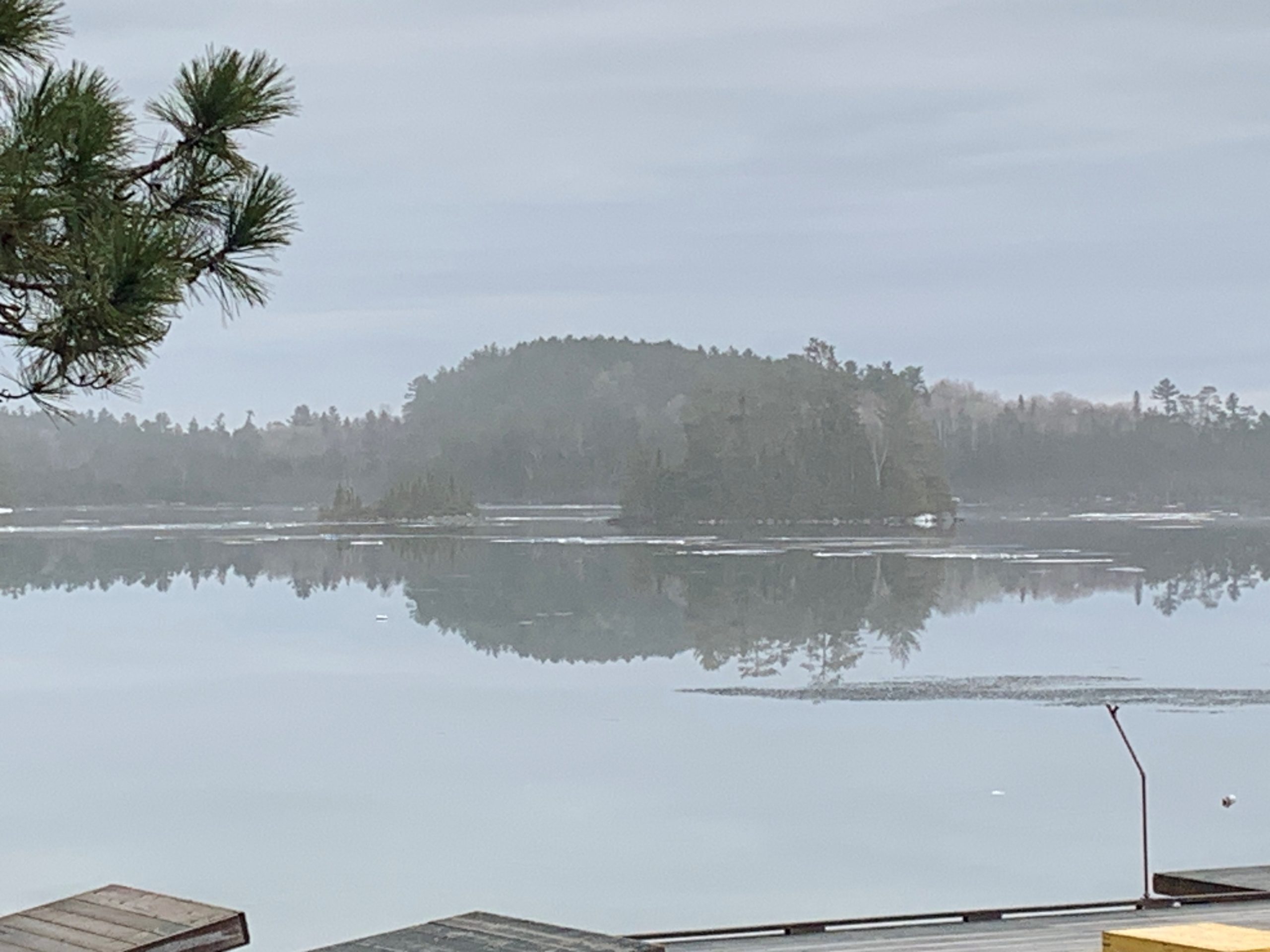
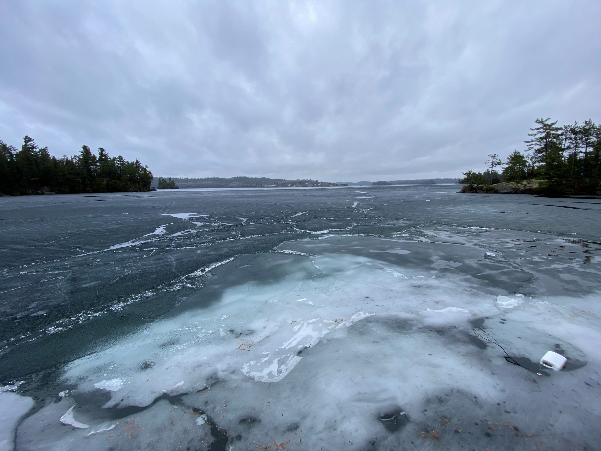
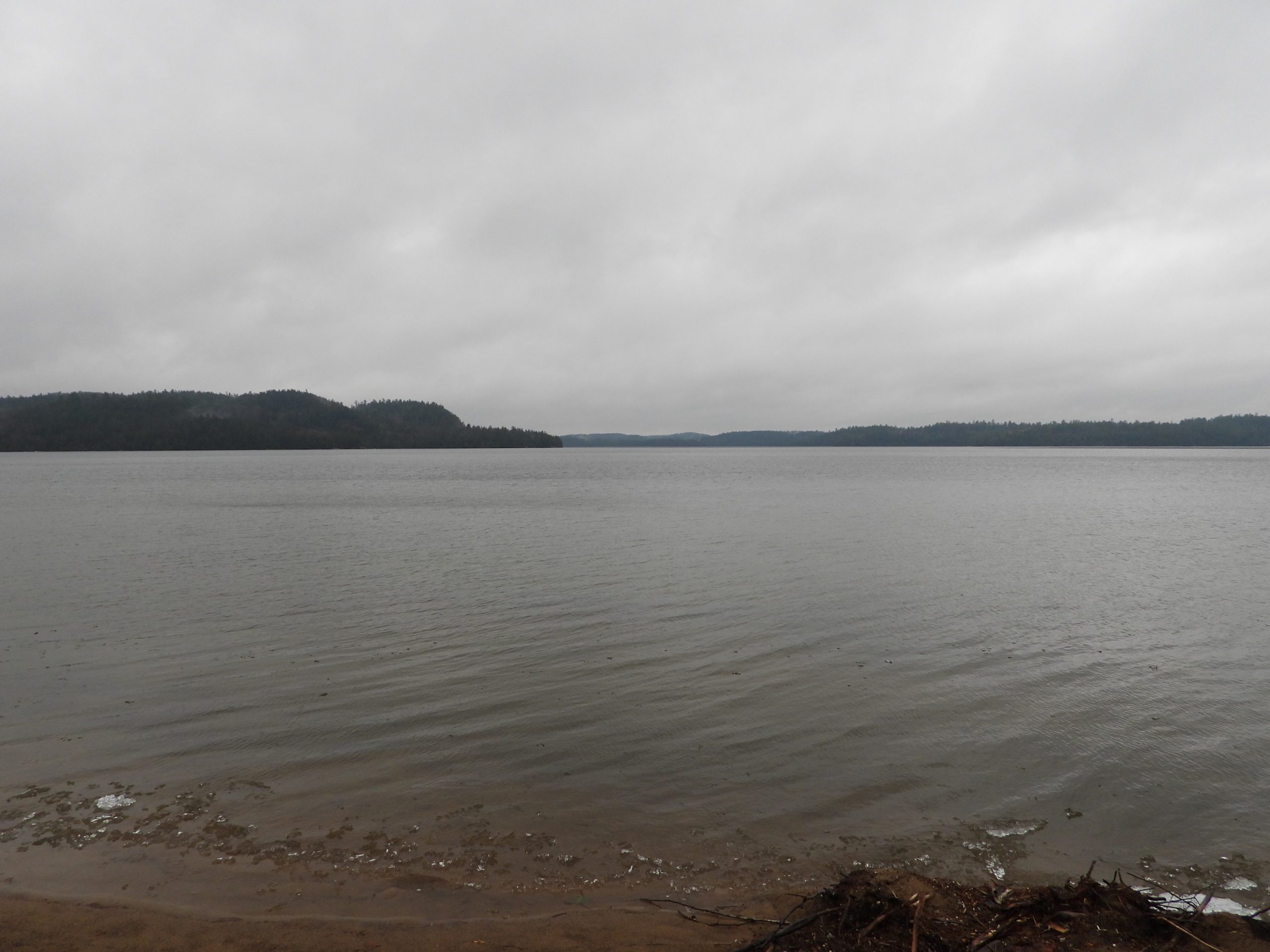
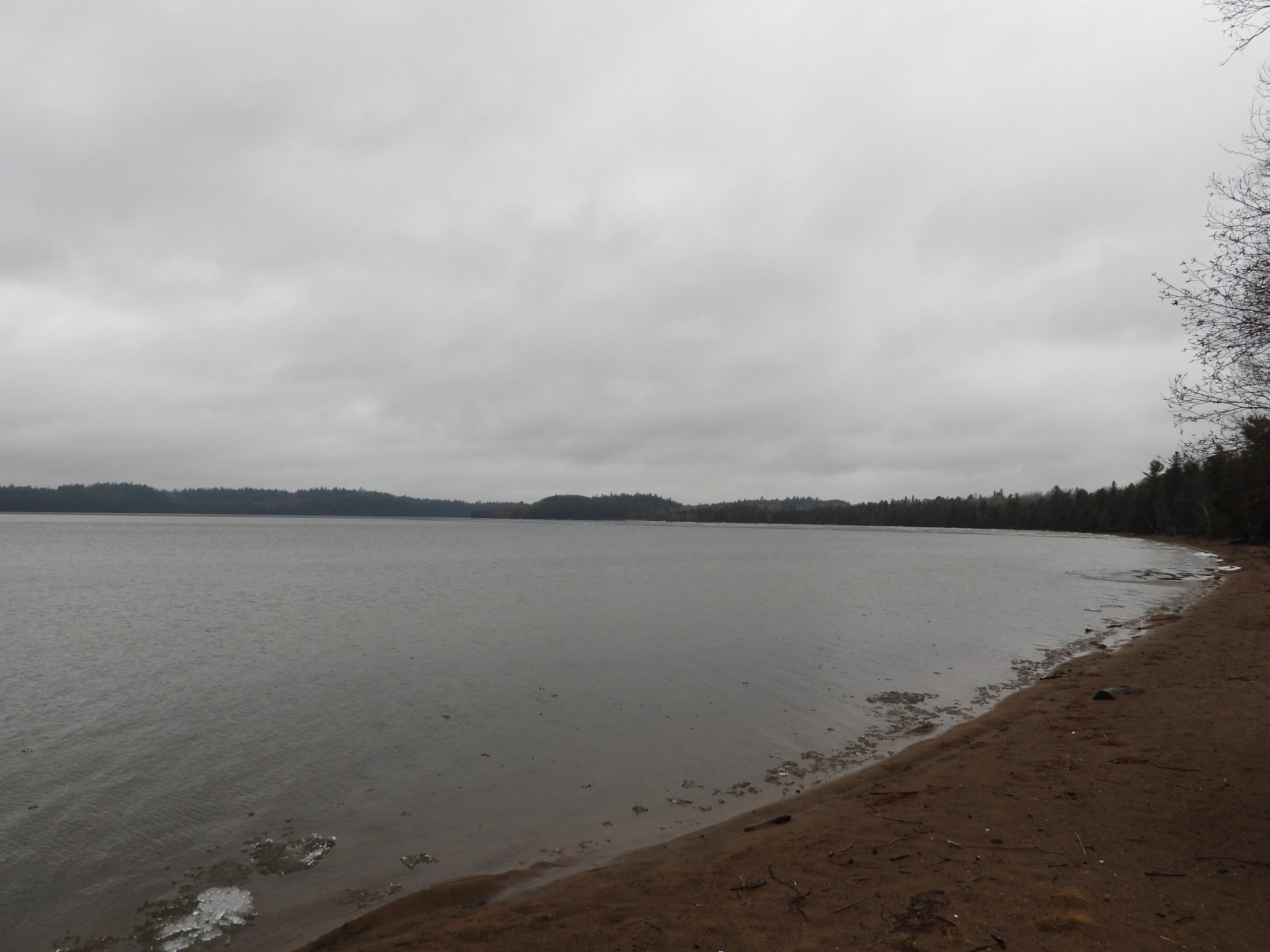
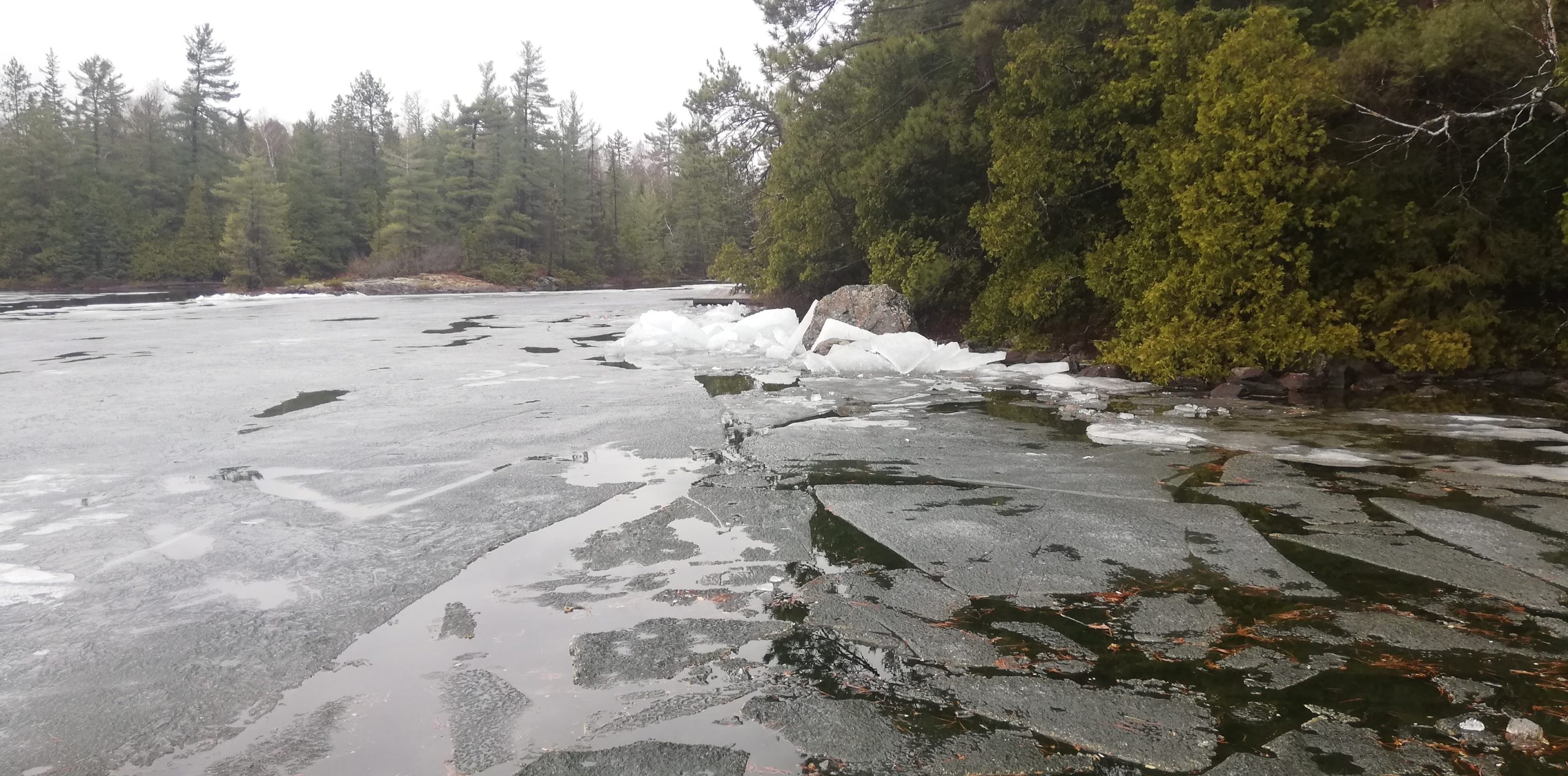
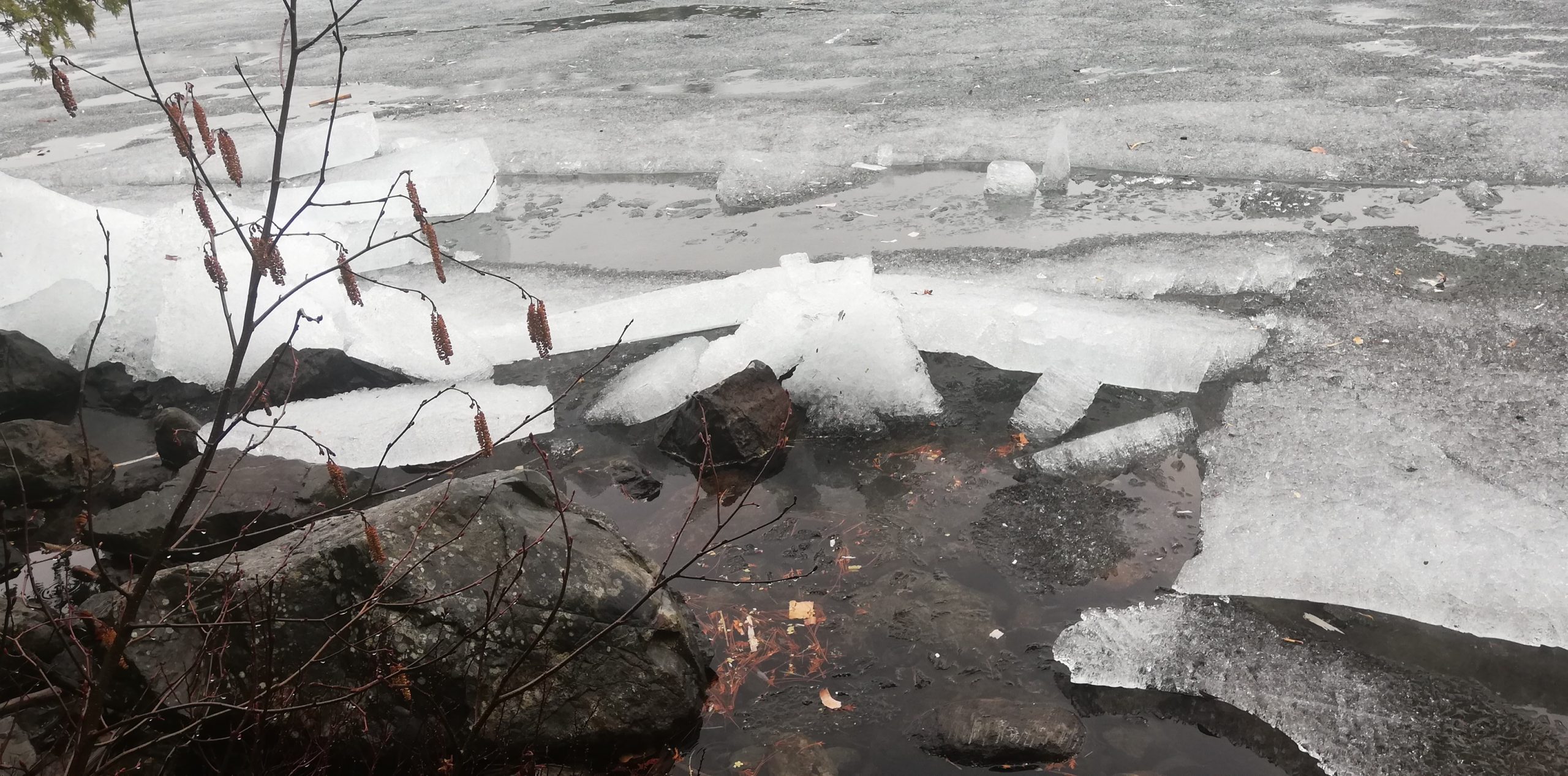
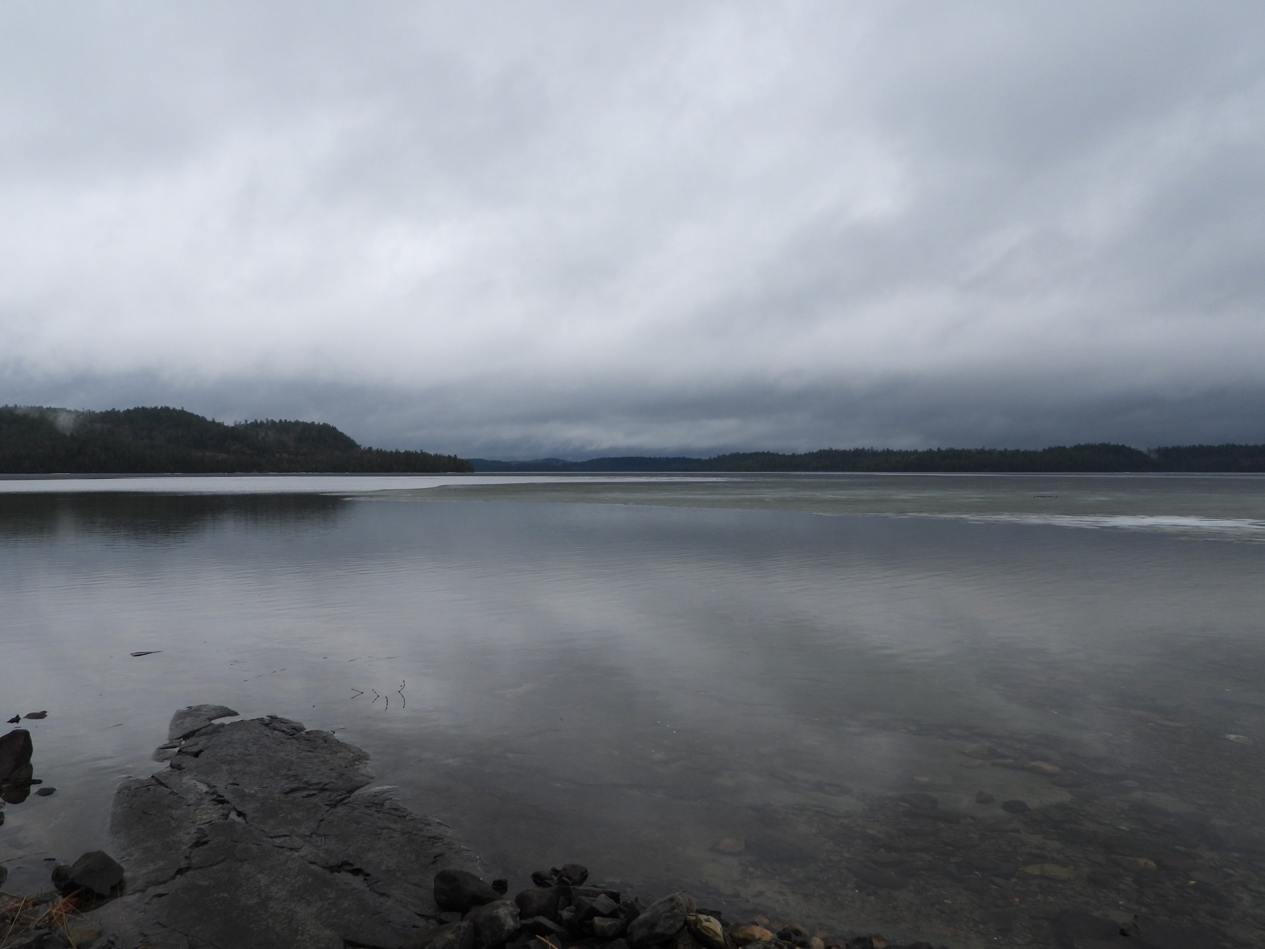
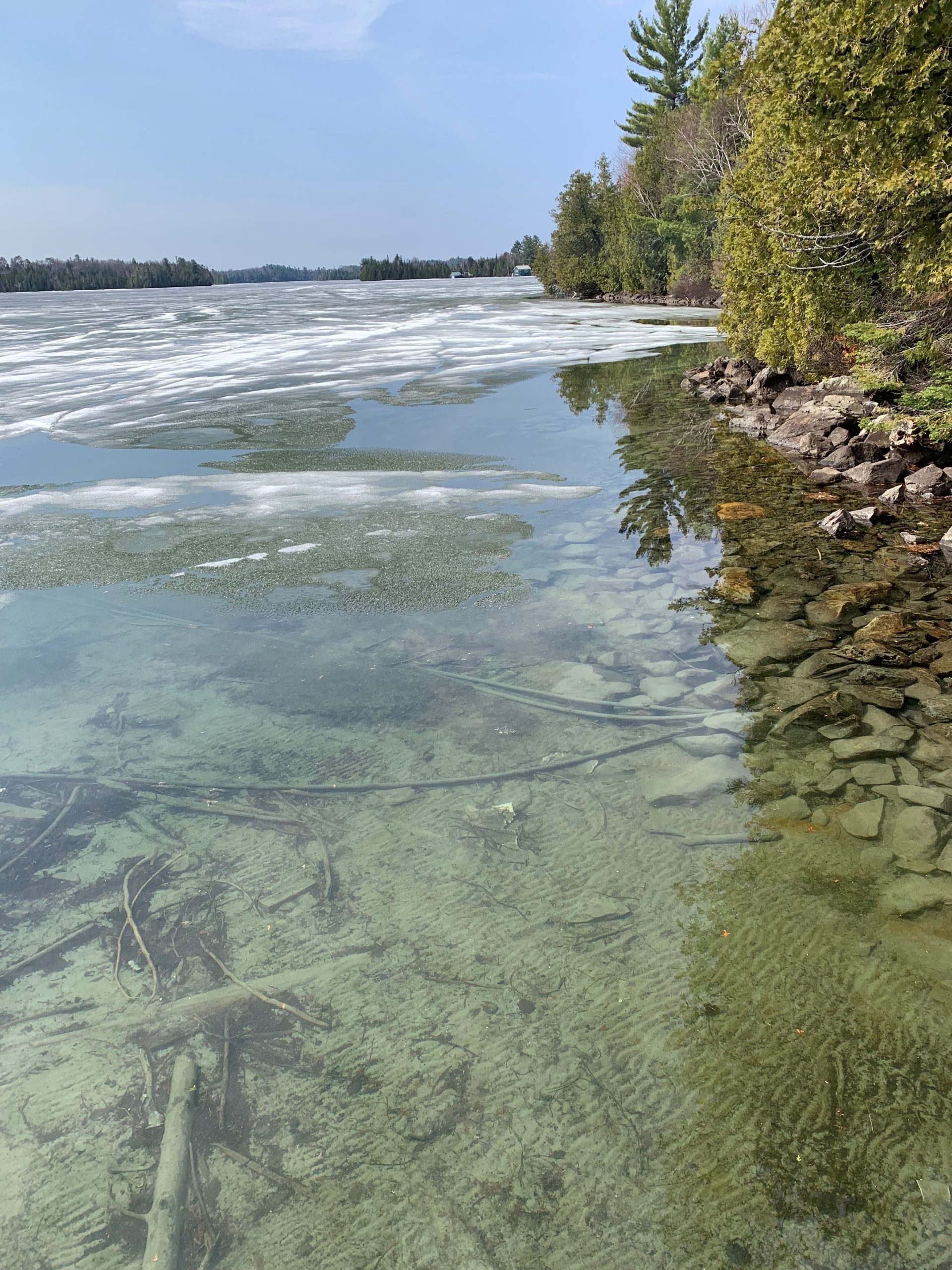
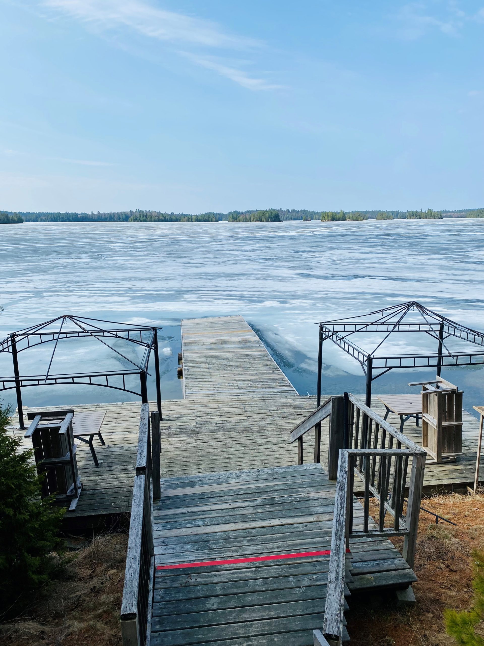
April 20, 2024: Final Remnants
It’s chilly today, with snow flurries, but the little remaining ice is not expected to last long with strong winds, longer sun exposure, and warming water.
Our on-the-ground reporters saw no ice today – including Jackie Hodgins who travelled from Camp Wanapitei to the landing.
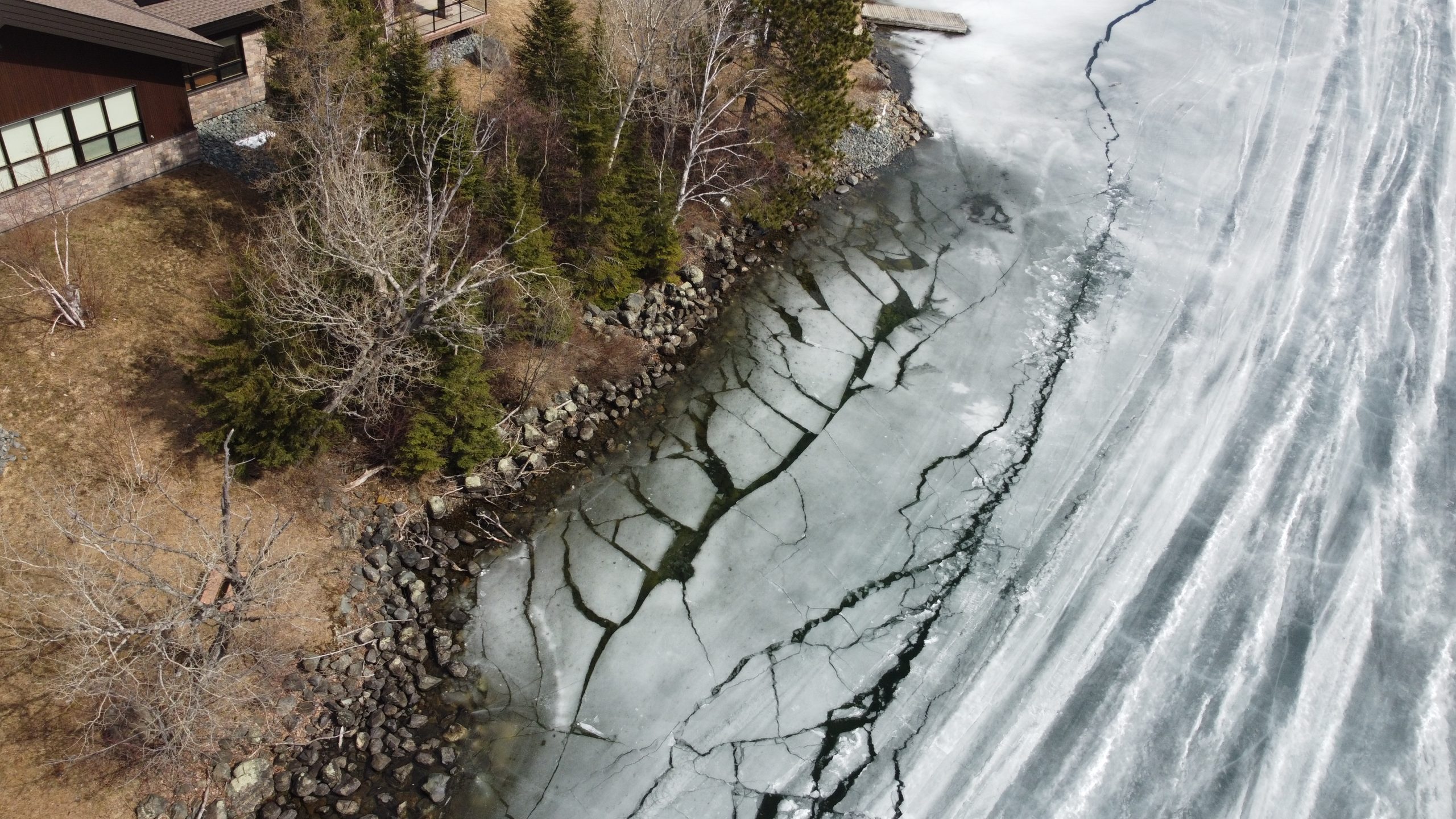
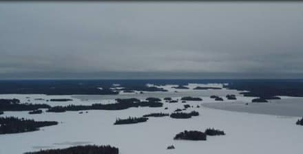
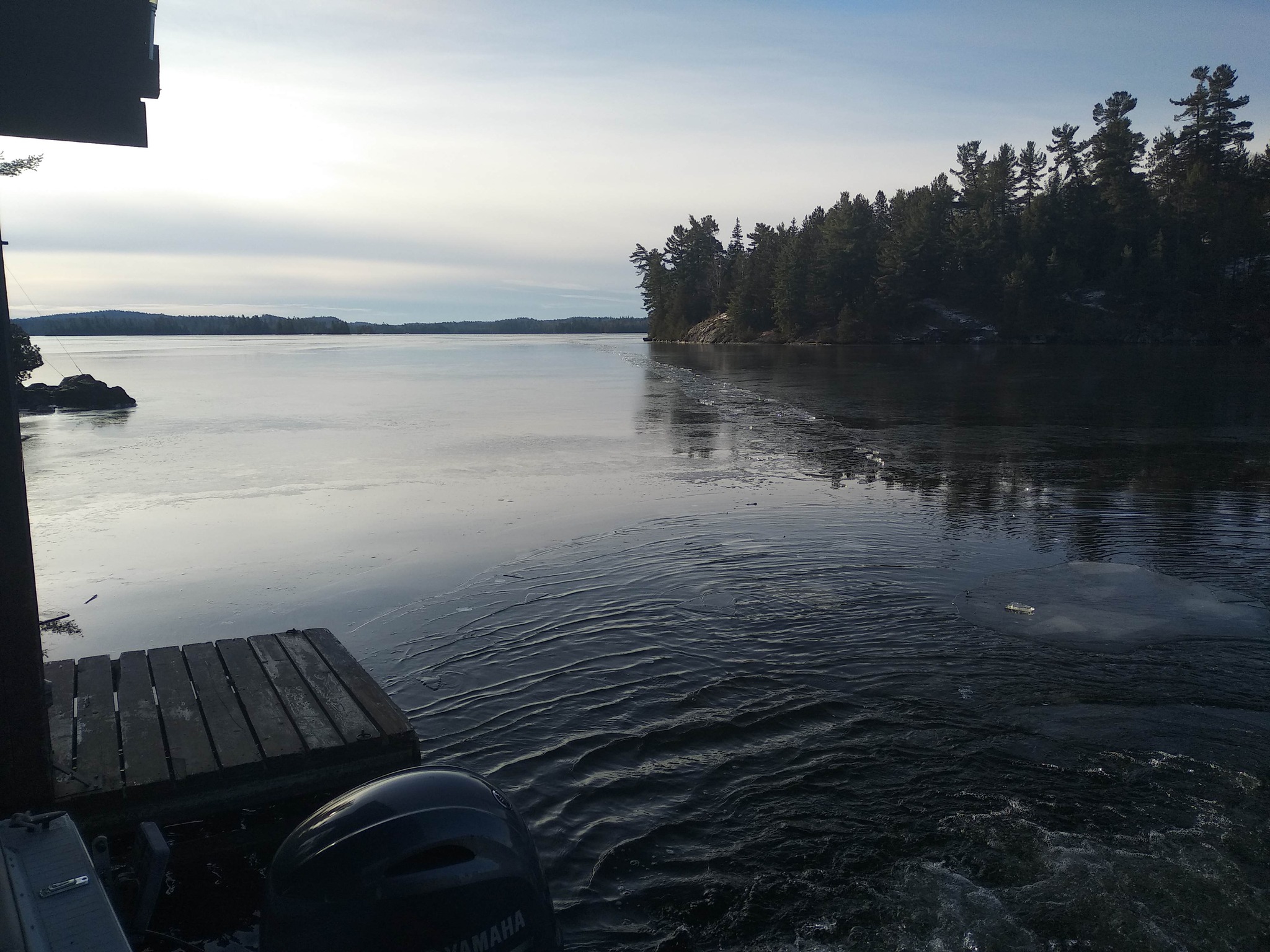
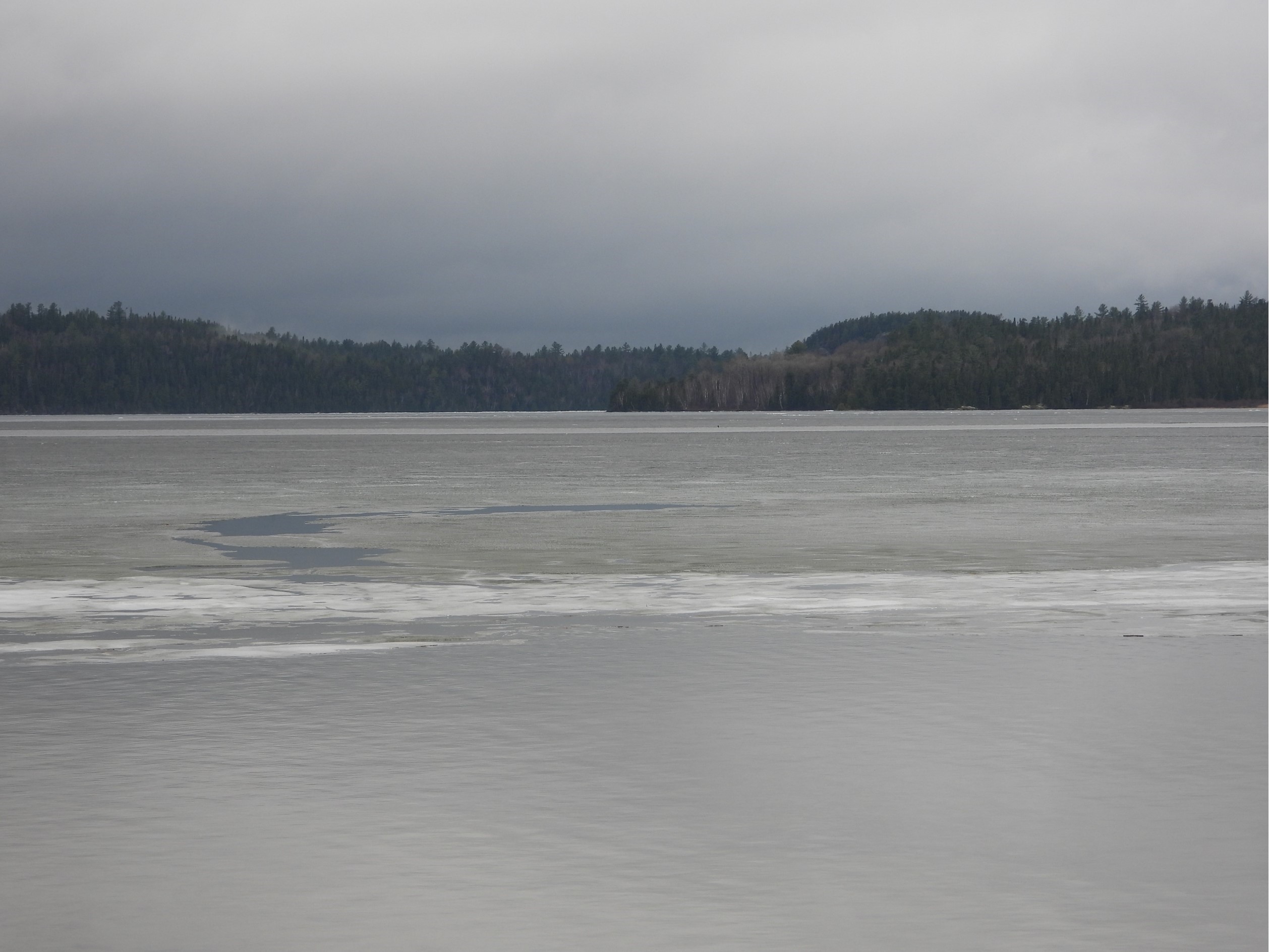
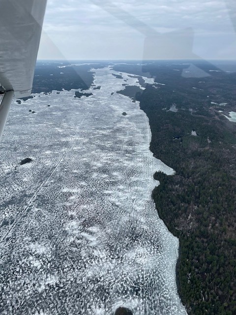
However, on Ron Miller’s fly-over, he observed a little patch of ice hanging on in the South Arm near Tamar Lodge, along with larger areas persisting at the top of the North Arm.
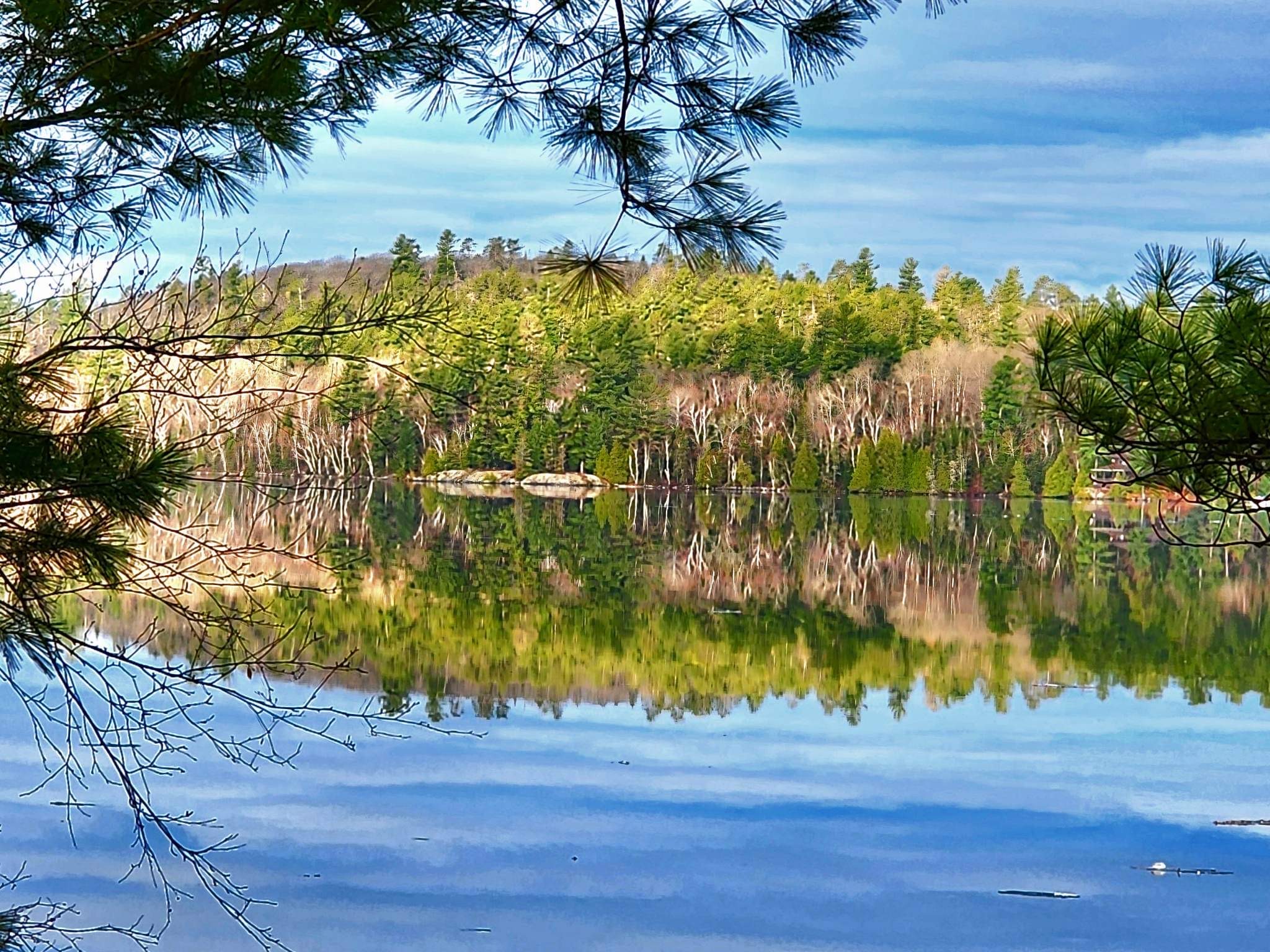
South Arm Bay (photo by Ron Miller)
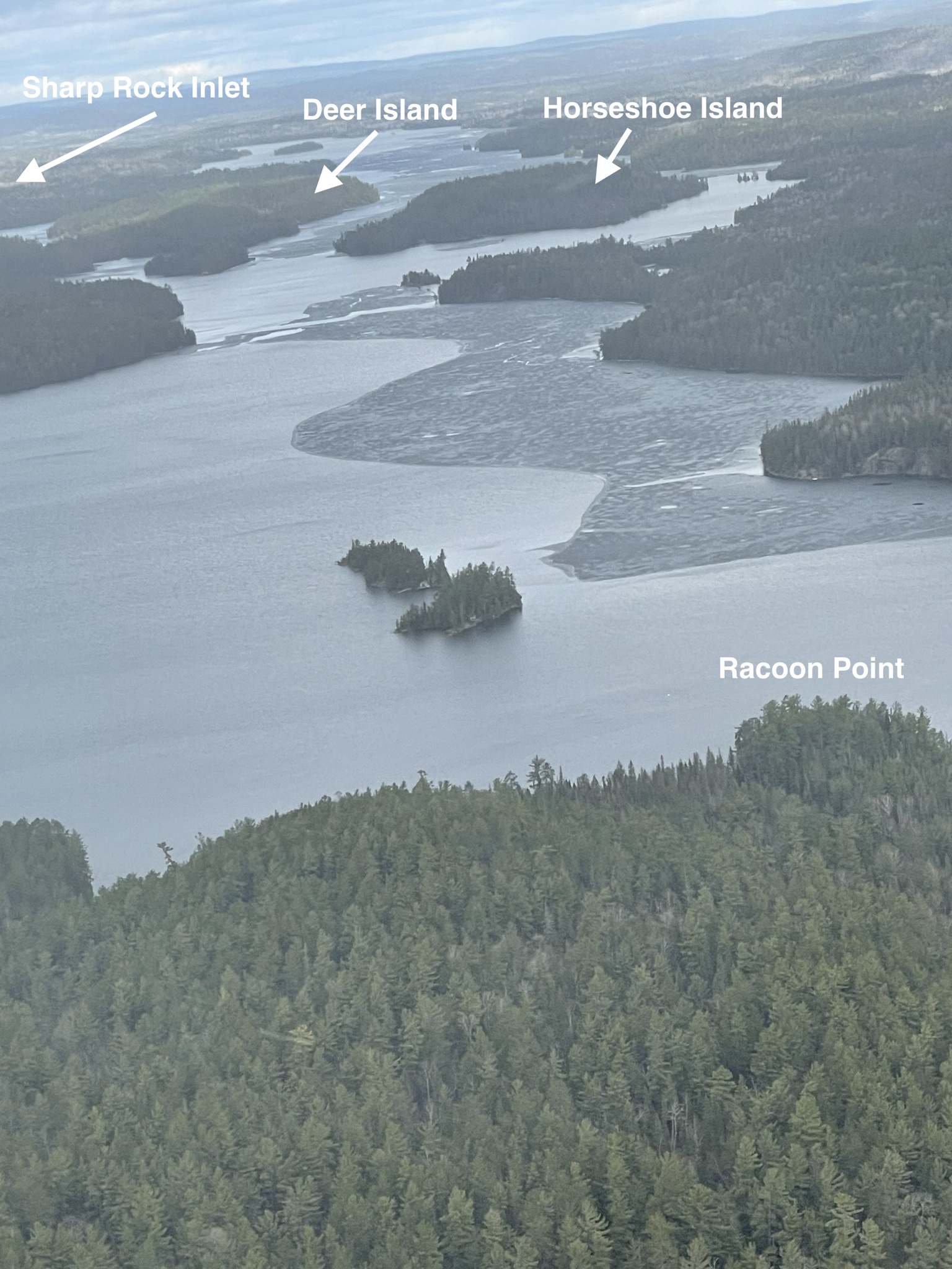
North Arm – Looking North Over Horseshoe Island Toward Whitefish Bay and Sharp Rock Inlet (photo by Ron Miller)
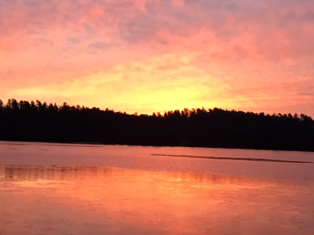
Temagami Spring Snow Squall – Looking South to Seal Rock Point (photo by Jackie Hodgins)
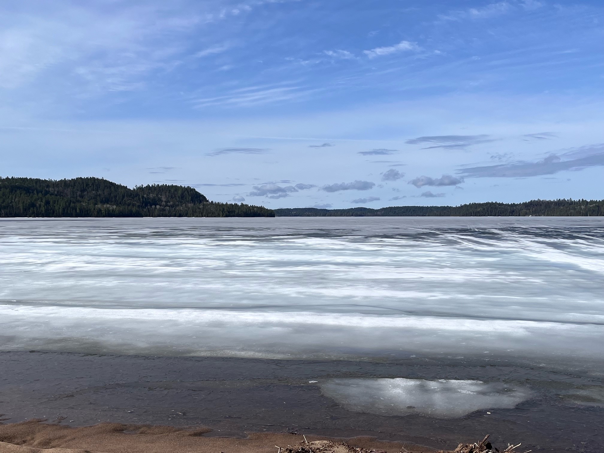
April 17, 2024:
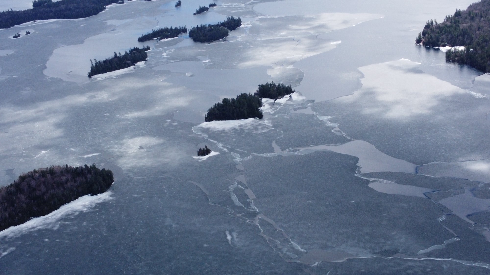
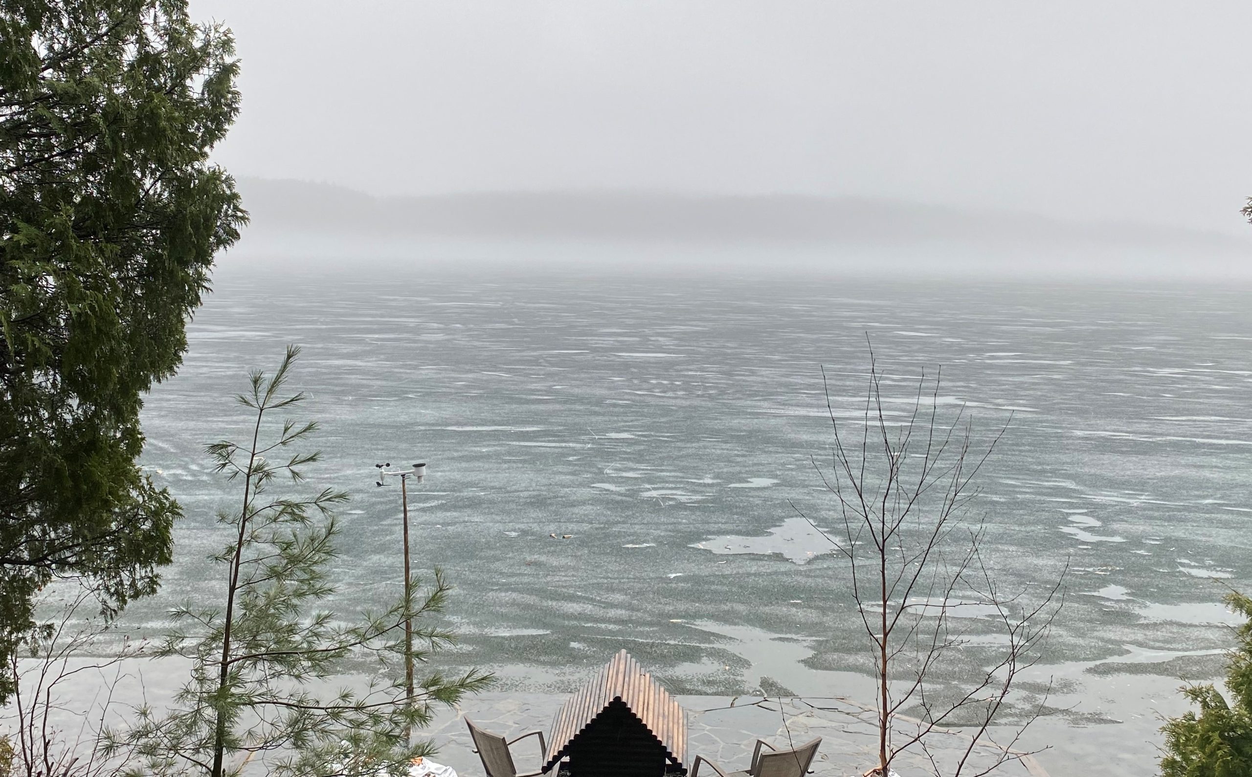
From Sacha Stevens (Western Hub): We got to the landing [from Island 988] yesterday, but it took us 50 minutes to break through the ice (normally a 15-minute boat ride). We still have ice about a half km out in front of us as far as you can see north and south. Reports are the same around the Island 1005 area.
The View from Island 988 (photo by Sacha Stevens)
Morning Drone Footage From Cattle Island Area (photo by Aaron Nelles)
From Natasha Mathias: Tash Mathias reports from her family home that Obabika Lake is ice-free as of today.
Ducks Enjoying the Open Water and a Gorgeous Obabika Evening (photo by Natasha Mathias)
April 16, 2024:
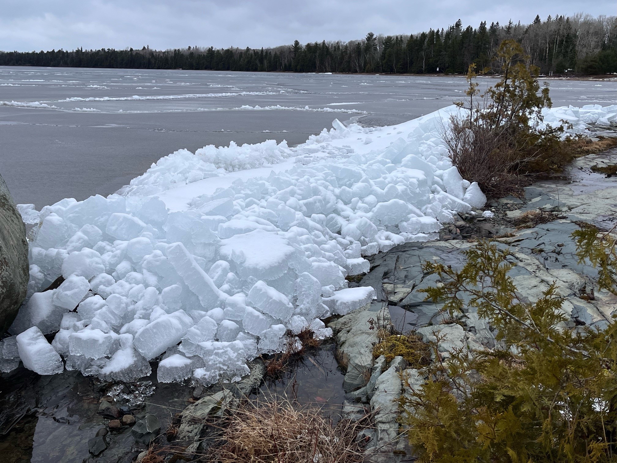
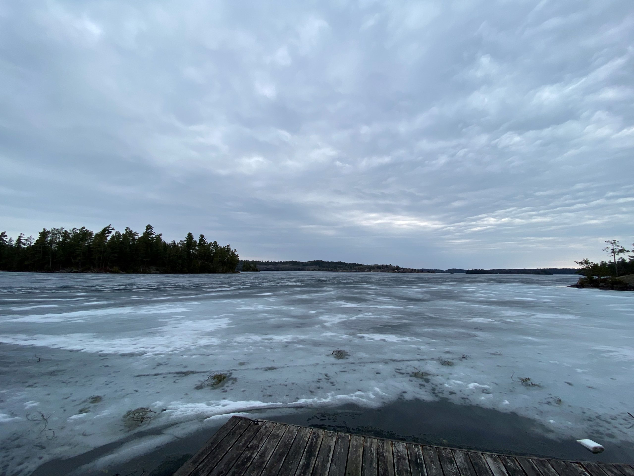
From Don Johnson (SW Arm): Mark Lorie and I got to Nolan’s yesterday for happy hour. He is just south of Wigwasati. We had to break about a mile of ice from Triangle Bay to the green marker south of Wigwasati. It took us about 10 minutes to break about 150 feet of ice in front of our house to get home.
Much of the ice here is still 5 inches thick. (photo by Don Johnson)
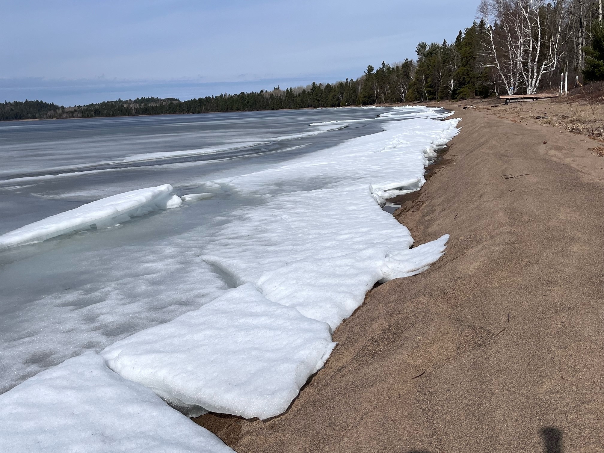
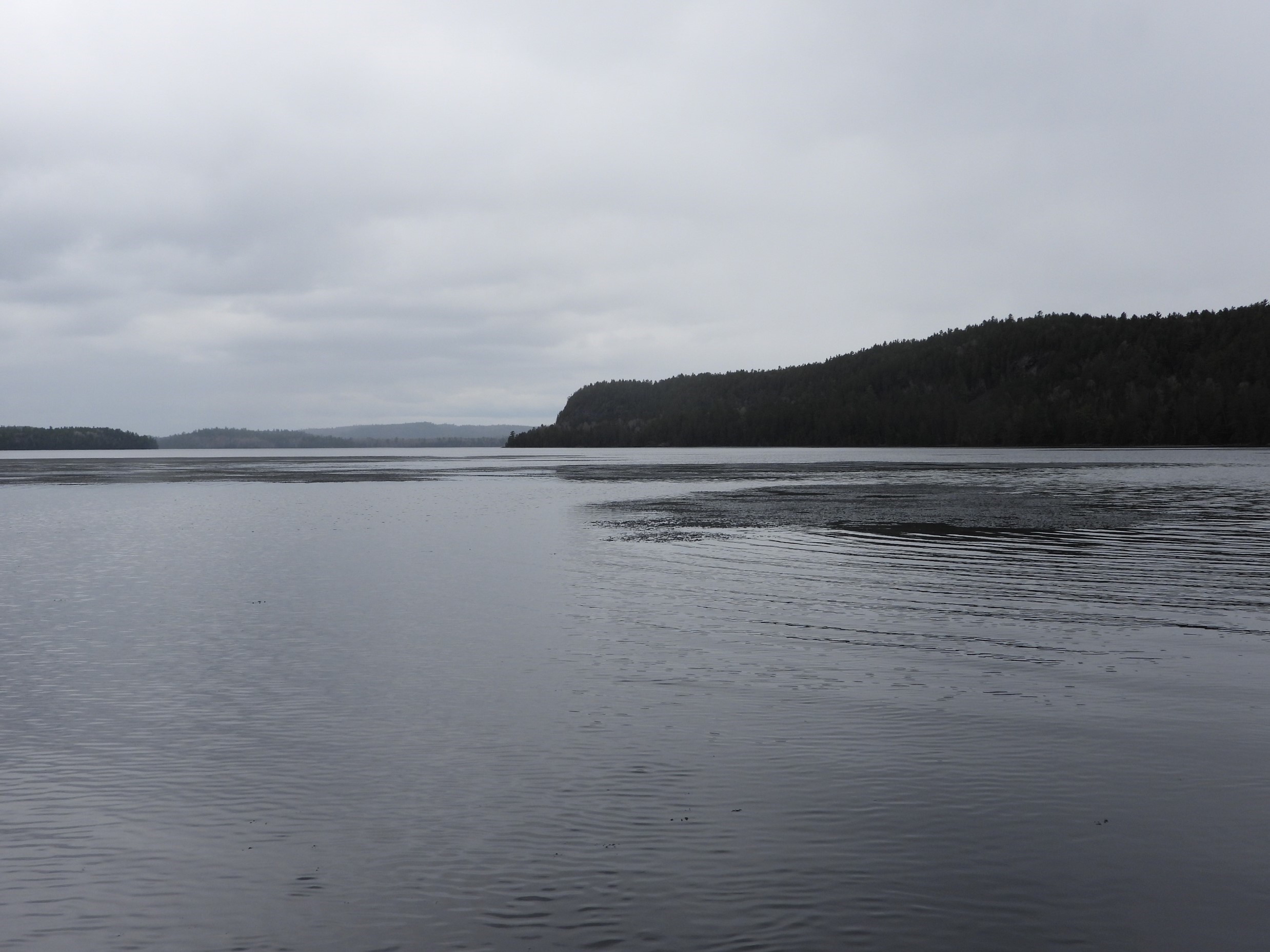
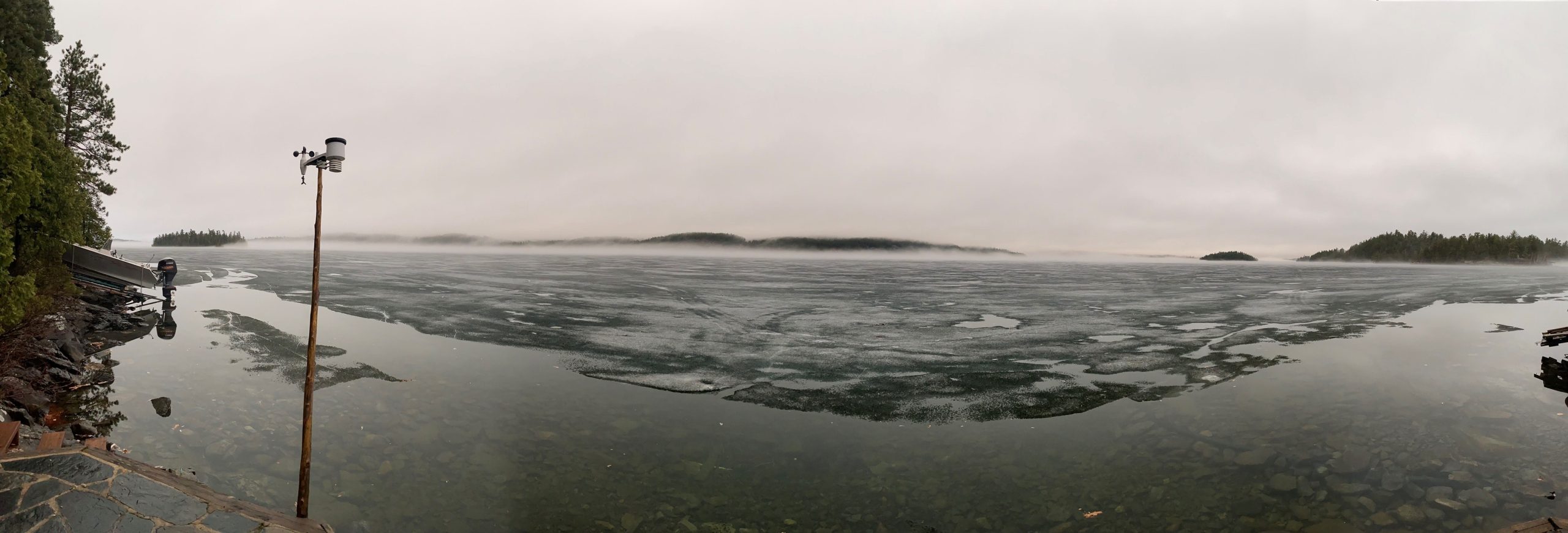
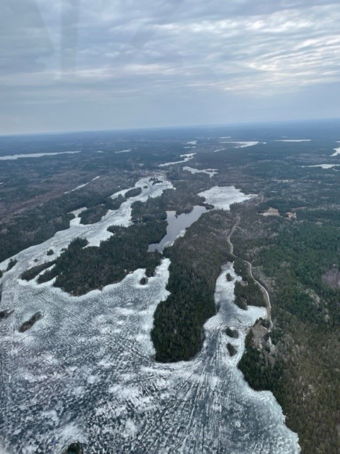
April 14, 2024: Changing Rapidly
Break-up 2024 is par for the course of this very unusual hard-water season.
Don Johnson reports that this is the first time in his 34 years on Lake Temagami that the Hub is open before the Southwest Arm. Typically the SW Arm is first to open – about five days before the middle of the lake.
White Bear Narrows (photo by Don Johnson)
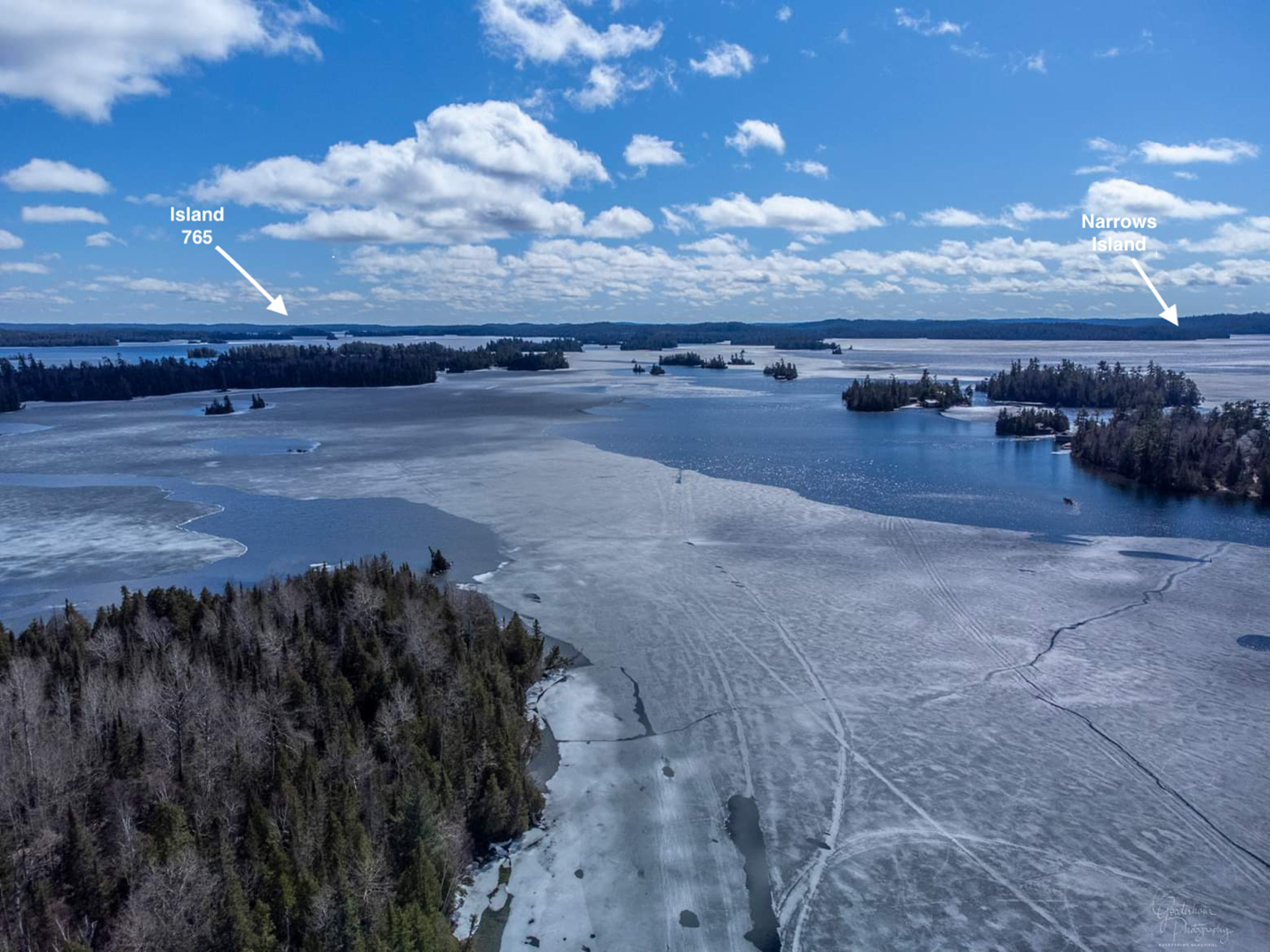
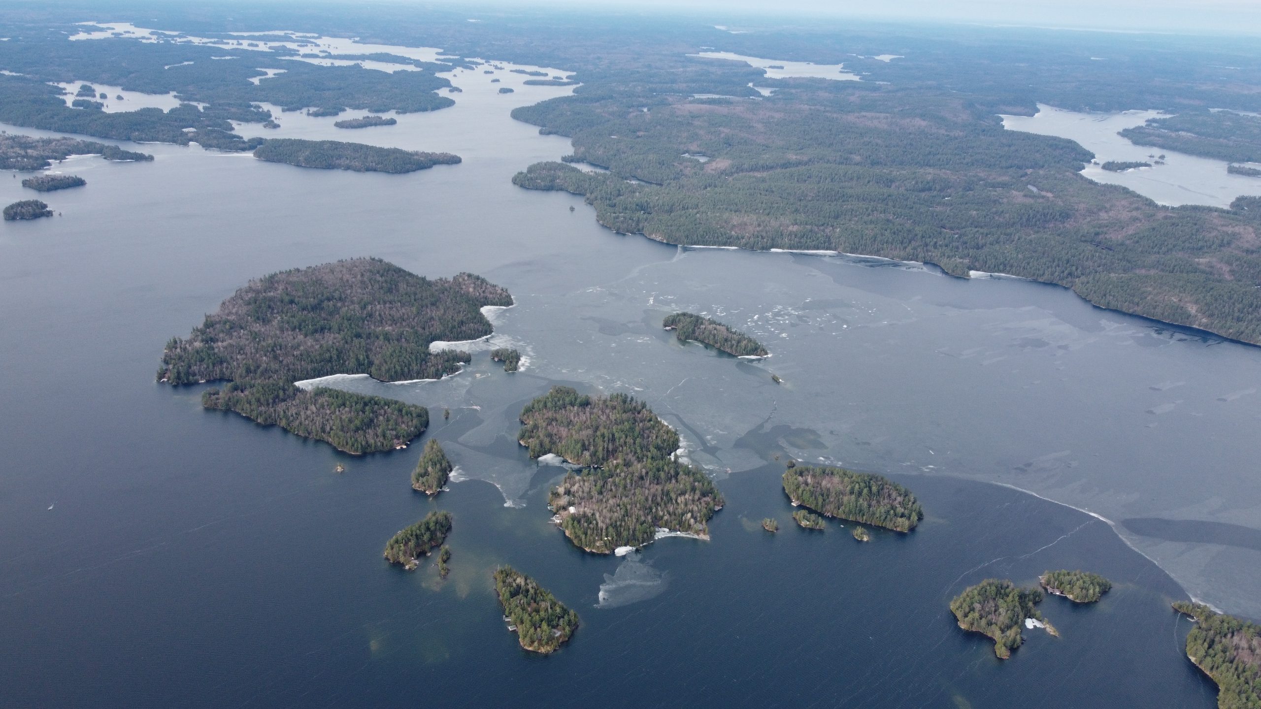
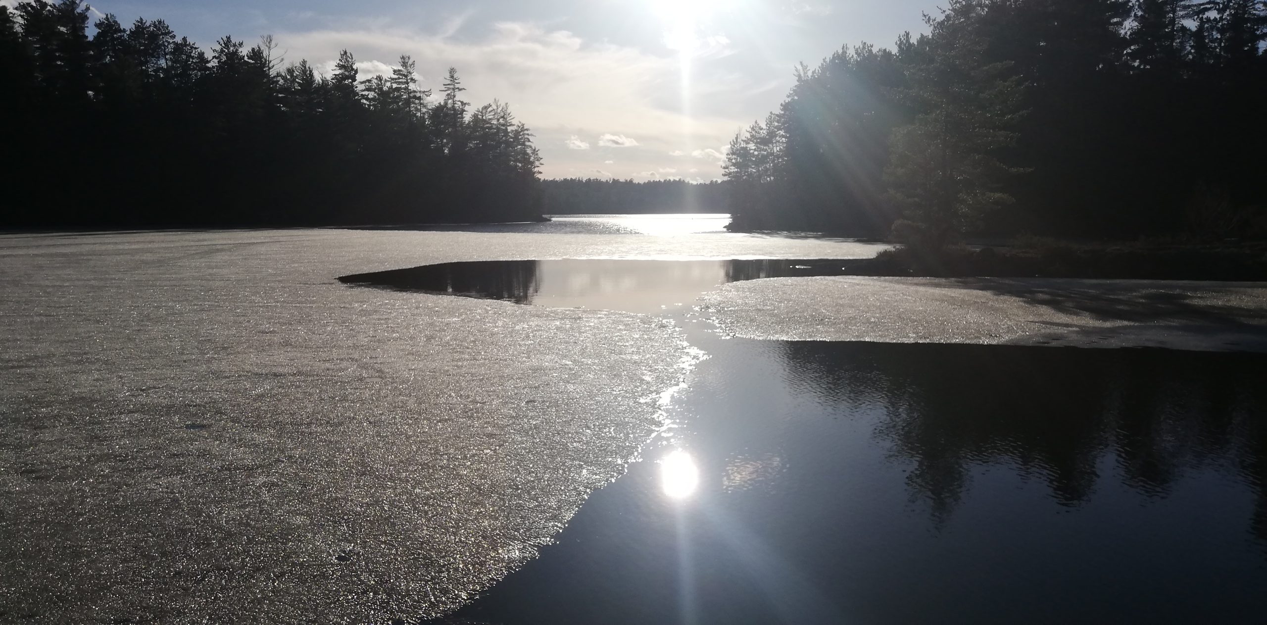
Image from Ogama Island Looking South Toward Kabekwabika – Island 765 (drone imagery by Gerry Gooderham)
The west shore of the SW Arm seems mainly open, and the mouth of the SW Arm is open. Ice jammed up in front of my place yesterday, so the picture doesn’t show much change. (photo by Nolan Jorgenson)
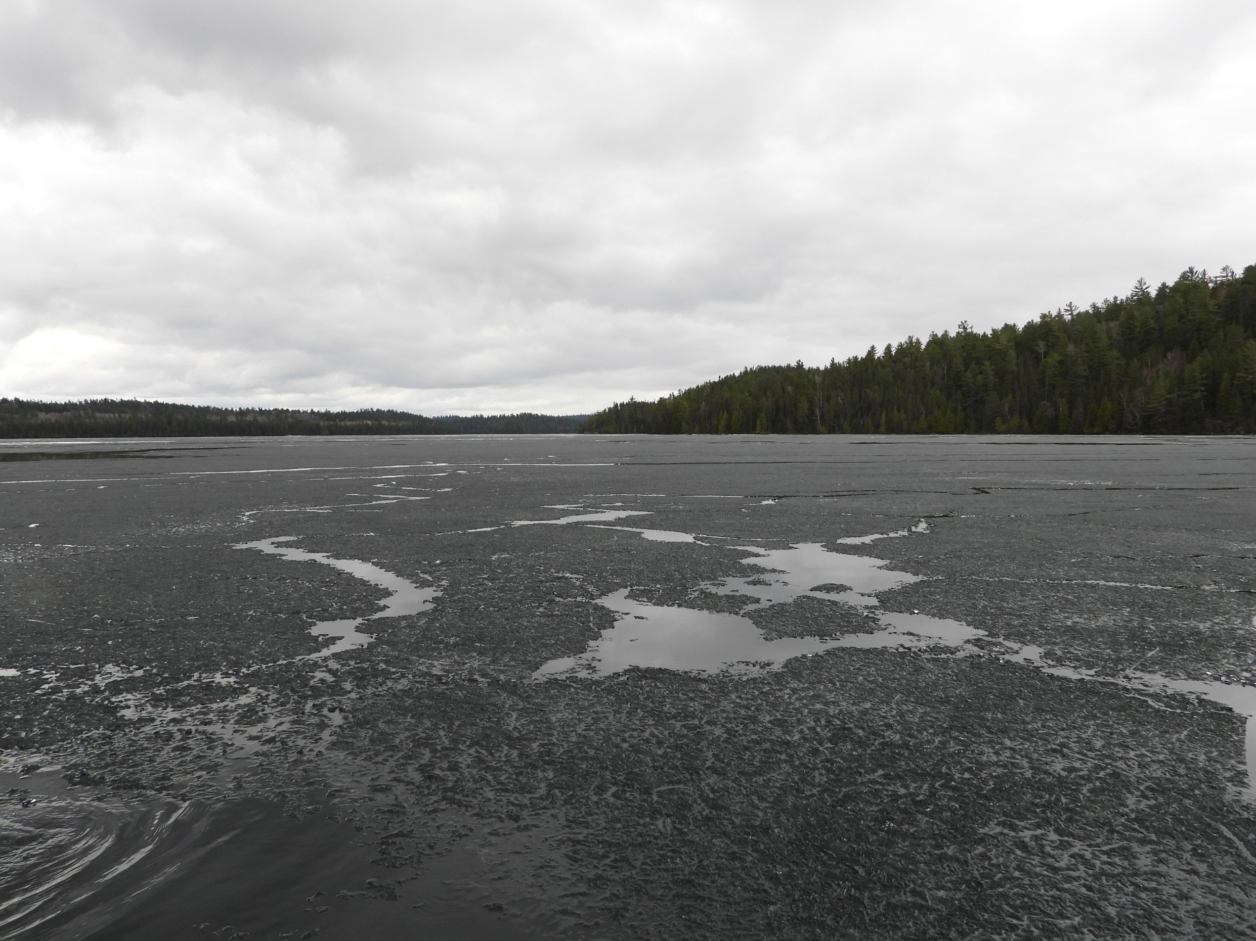
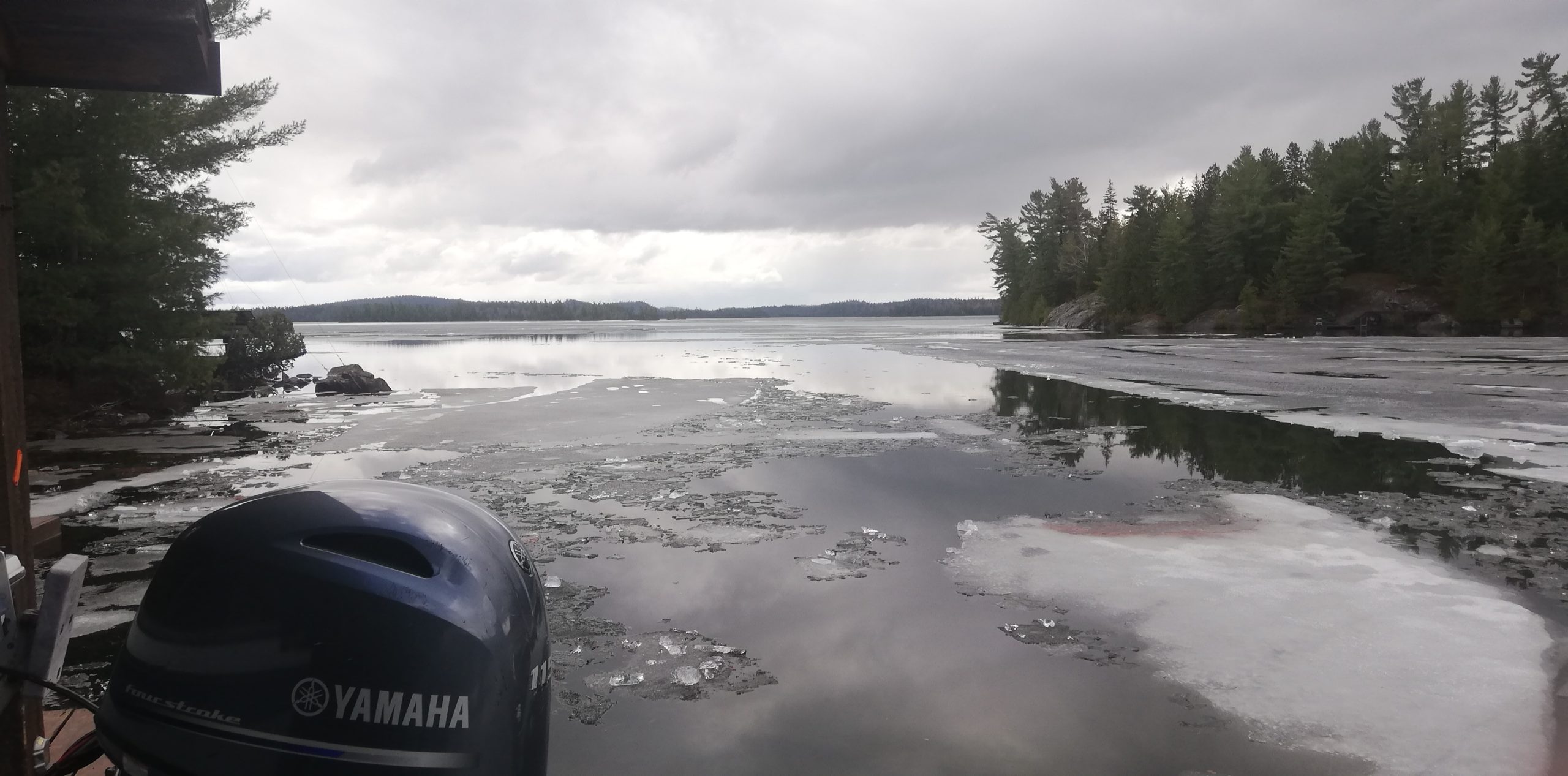
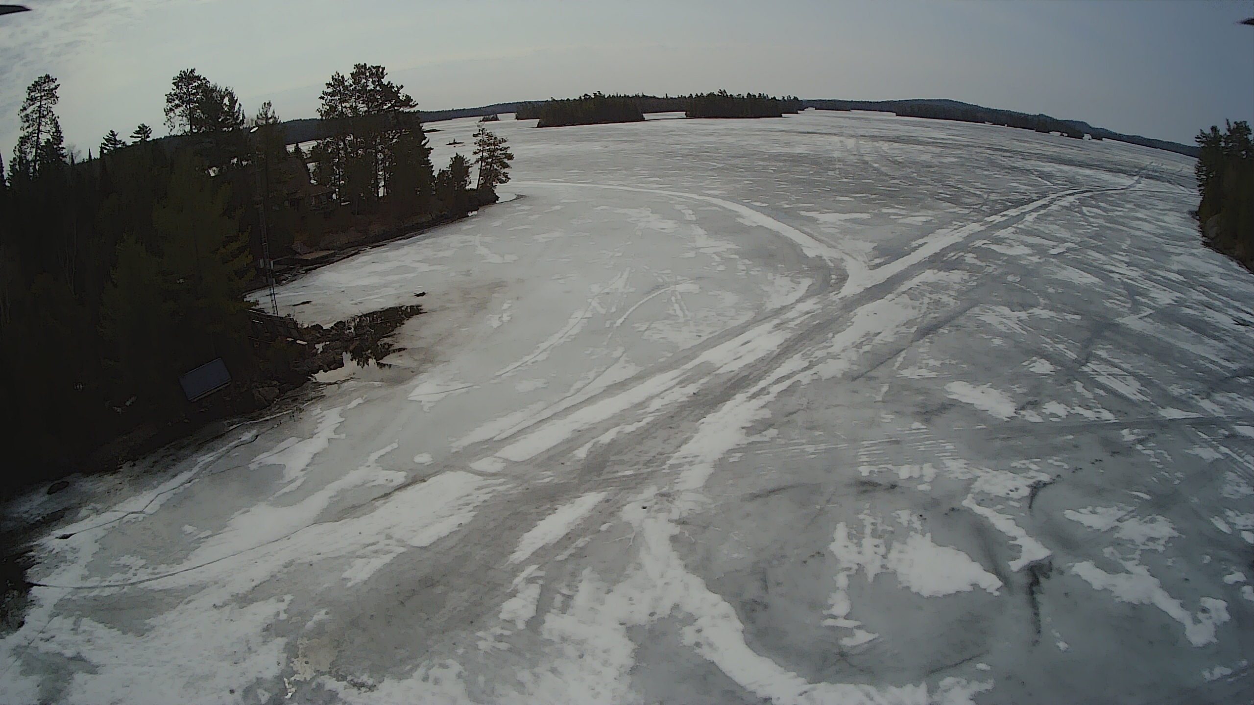
April 13, 2024: Ice on the Move
Torrential rain and wind in Temagami have given way to sunshine this evening, and break-up is progressing rapidly. Our correspondents are all expecting to be in their boats in the next few days with enough wiggle room between the floating ice to shove it aside and make it to the landing or other intended destinations.
The accompanying photos were all taken this afternoon.
View from Wabikon Looking South Toward High Rock (photo by Penny St Germain)
Looking West from Island 988 to the Hub Bluffs (photo by Sacha Stevens)
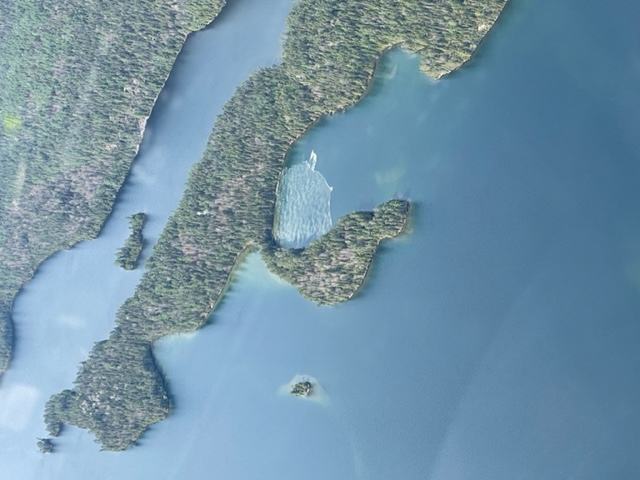
Ice Piling Up on the South Side of the Pinto Islands (drone imagery by Aaron Nelles)
Sandy Inlet (photo by Jackie Hodgins)
April 11, 2024:
The View Along the Beach Trail at Camp Wanapitei (photo by Jackie Hodgins)
April 10, 2024:
Looking West from Island 988 Toward the Cliffs photo bt Sacha Stevens)
The View From Nolan Jorgenson’s Island in the SW Arm (photo by Nolan Jorgenson)
Looking From Camp Wabikon Toward High Rock (photo by Penny St. Germain)
April 9, 2024:
Looking South from Camp Wanapitei (photo by Jackie Hodgins)
Picture of Shoreline After Tom Mathias Drove by With His Airboat (drone imagery by Aaron Nelles)
April 7, 2024:
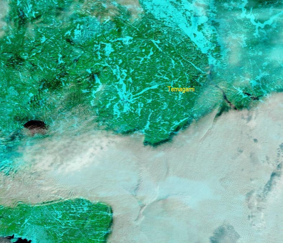
NASA MODIS TERRA satellite morning pass, infrared image. Dark blue = open water. Ice on the Lake is thinning and appears as aquamarine. (image submitted by Allan Eustis)
The View From Camp Wabikon (photo by Penny St. Germain)
Record of Break-Up Dates (Source: www.ottertooth.com/temagami.htm)
| Year: | Date: | Observation Point: | Observer: |
| 1985 | May 10 | Devil’s Island, North Arm | Glen Toogood |
| 1986 | May 1 | Devil’s Island, North Arm | Glen Toogood |
| 1987 | April 20-21 | Devil’s Island, North Arm | Glen Toogood |
| 1988 | May 4 | Devil’s Island, North Arm | Glen Toogood |
| 1989 | May 11 | Devil’s Island, North Arm | Glen Toogood |
| 1990 | May 1 | Devil’s Island, North Arm | Glen Toogood |
| 1991 | May 3 | Devil’s Island, North Arm | Glen Toogood |
| 1992 | May 10 | Sandy Inlet | Glen Toogood |
| 1993 | May 6 | Sandy Inlet | Glen Toogood |
| 1994 | May 8-9 | Sandy Inlet | Glen Toogood |
| 1995 | May 2 | Temagami Bay (Town) | Glen Toogood |
| 1996 | May 12-15 | Temagami Bay (Town) | Glen Toogood |
| 1997 | May 6 | Temagami Bay Ttown) | Glen Toogood |
| 2000 | April 27 | Garden Island – north side | Glen Toogood |
| 2001 | May 5 | Garden Island | Glen Toogood |
| 2002 | May 5 | Garden Island | Glen Toogood |
| 2003 | May 5 | Garden Island | Glen Toogood |
| 2004 | May 5 | Garden Island | Glen Toogood |
| 2005 | May 1 | Garden Island | Glen Toogood |
| 2006 | April 22 | Garden Island | Glen Toogood |
| 2007 | April 27 | Garden Island | Glen Toogood |
| 2008 | April 27 | Garden Island | Glen Toogood |
| 2009 | May 6 | Sealrock Point | Harold Keevil |
| 2010 | April 15 | Devil’s Island, North Arm Southern Hub |
Jason Pigeau Bob Farr |
| 2011 | May 9 | Devil’s Island, North Arm | Jason Pigeau |
| 2012 | April 11 | North Arm Southern Hub |
Jason Pigeau Bob Farr |
| 2013 | May 8 | North Arm | Harold Keevil Gail Spencer |
| 2014 | May 14 | North Arm | Harold Keevil Gail Spencer |
| 2015 | May 6 | Ogama Island, Hub | Bob Farr |
| 2016 | May 6 | North Arm, Hub, Southwest Arm, Northeast Arm, and the air | Ron Miller, Penny St. Germain, Jason Pigeau, Bob Farr, Steve Battis, Harold Keevil |
| 2017 | May 1 | North Arm | Owen Bateman, Dave Wilfong |
| 2018 | May 17 | North Arm | Harold Keevil, Dave Wilfong, Ron Miller |
| 2019 | May 18 | North Arm | Harold Keevil, Bob Farr, Ron Miller, Dave Wilfong |
| 2020 | May 18 | North Arm | Harold Keevil, Dave Wilfong |
| 2021 | April 13 | North Arm, Hub | Ron Miller, Dave Wilfong, Bob Farr |
| 2022 | May 8 | North Arm, Ferguson Bay | Harold Keevil, Jackie Hodgins, Paul Tenwesteneind |
TLA-Recorded Dates:
| 2023 | May 8 | Bear Island, Ferguson Bay, Wabikon | Bob Farr, Jackie Hodgins, Penny St. Germain |
| 2024 | April 22 | Sandy Inlet, Western Hub | Jackie Hodgins, Sacha Stevens |
****************************************************************************************************
FREEZE-UP WATCH 2023/2024:
January 7, 2024:
It’s official. Our ice watchers report no open water on Lake Temagami (aided by satellite and Aaron Nelles’ drone imagery)!
Everyone emphasizes that while the Lake is frozen over, it does not yet mean that travel is safe. Be careful!
The freeze-up occurred three days earlier than in 2023. Scroll down for a complete list of Lake Temagami freeze-up dates (from 2002 on).
Congratulations to Don Johnson with his winning prediction of January 4, 2024.
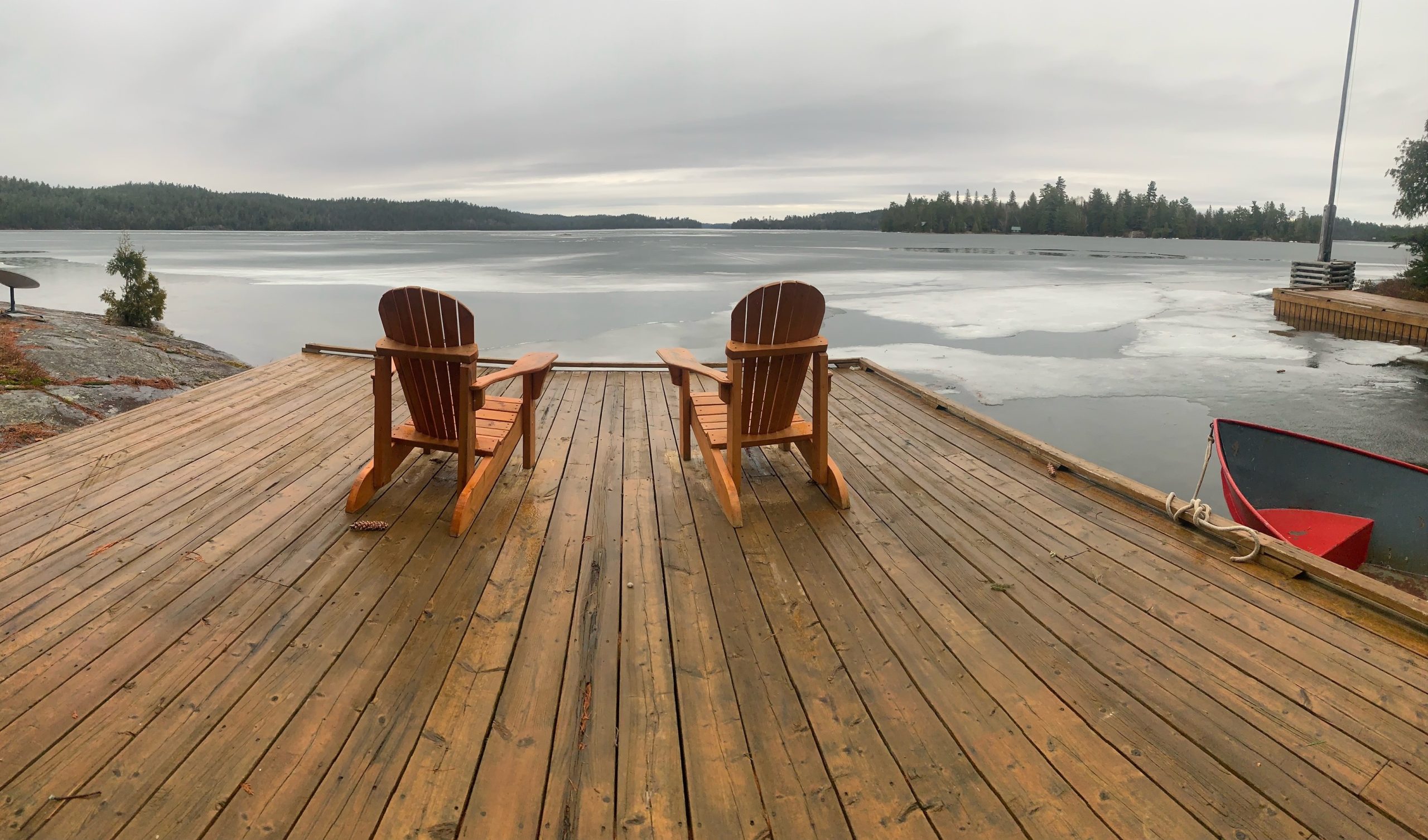
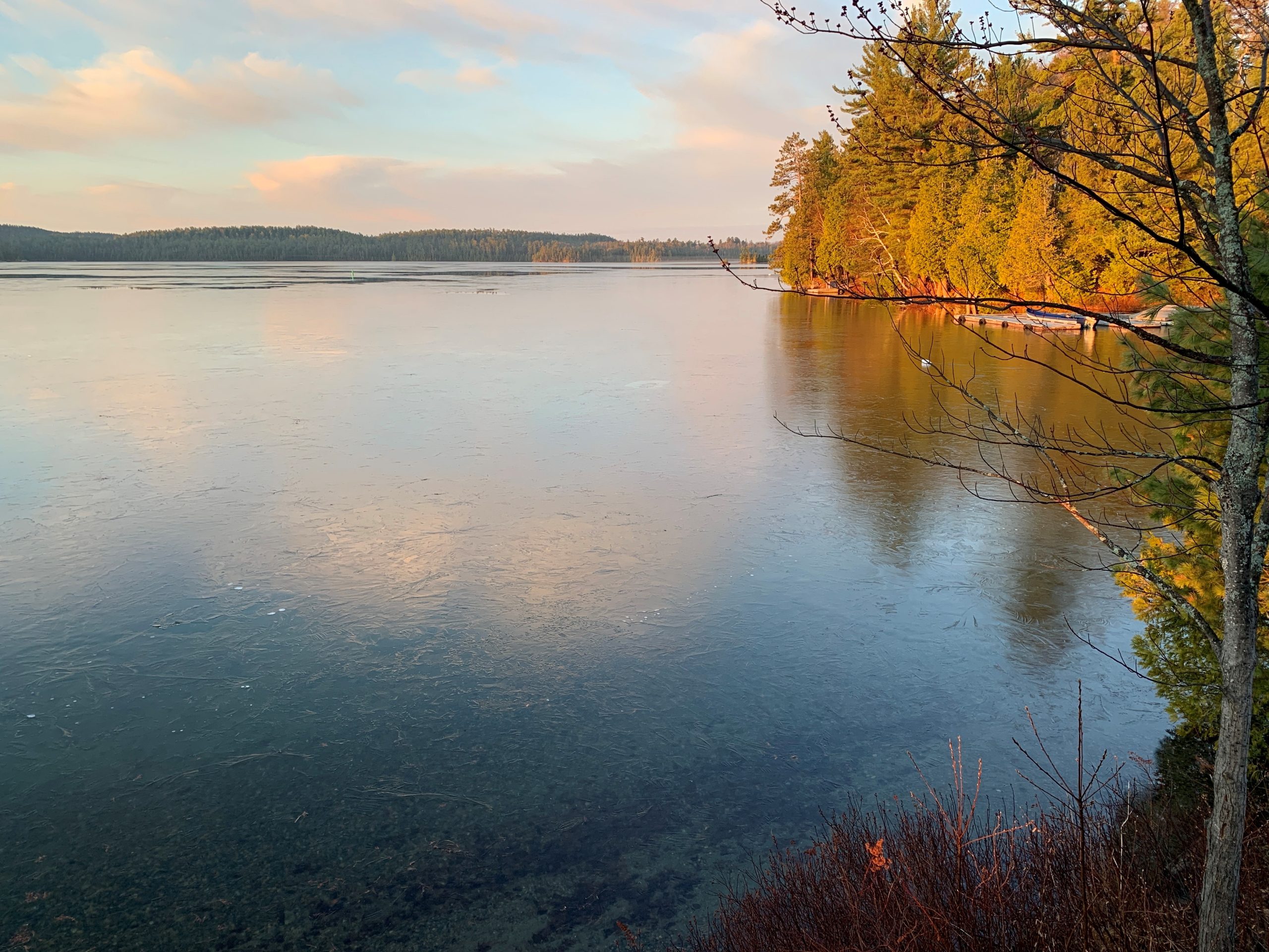
NASA MODIS satellite image with ice-covered (light blue) Lake Temagami. (photo courtesy of Allan Eustis – our chief meterologist)
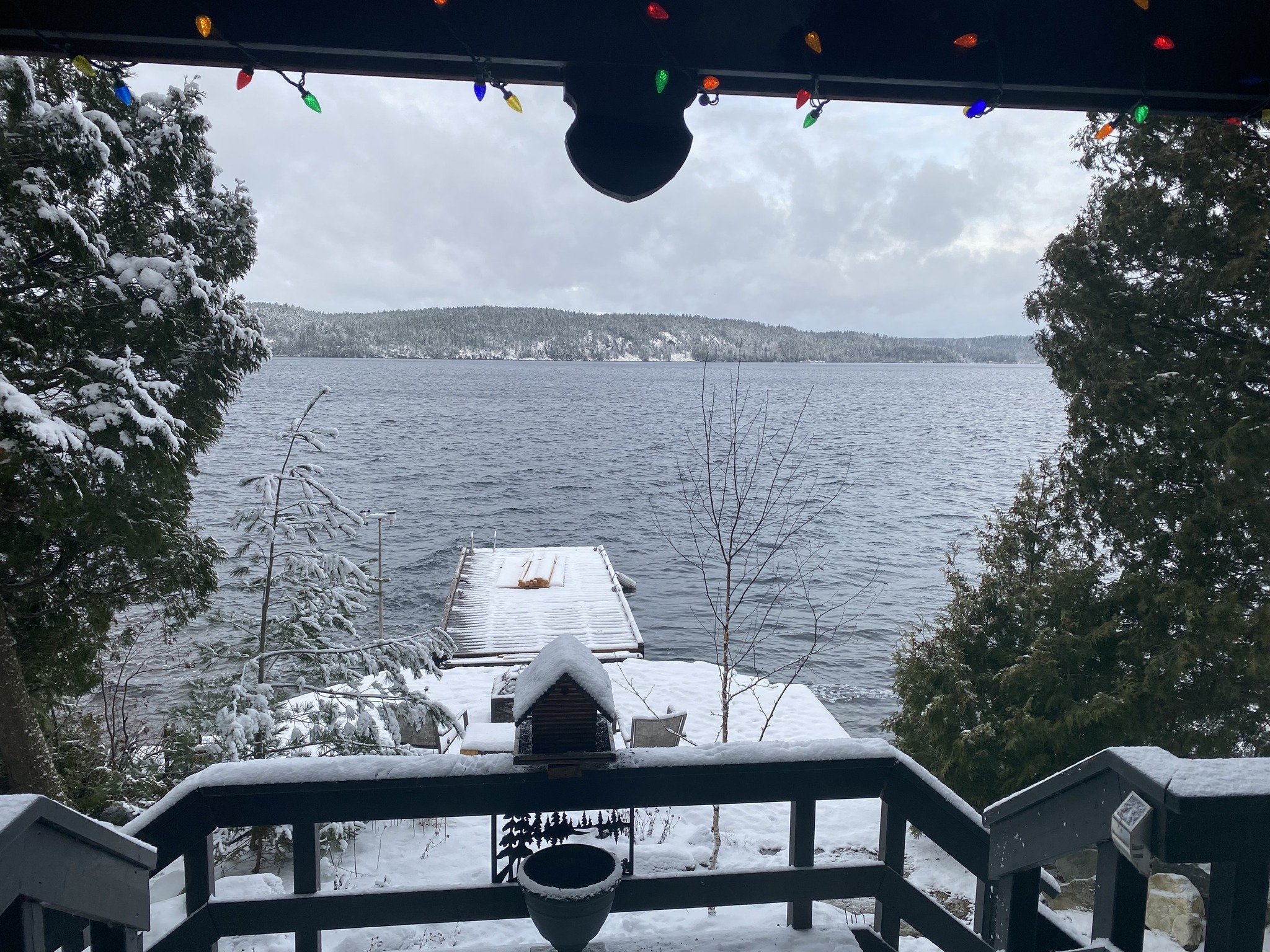
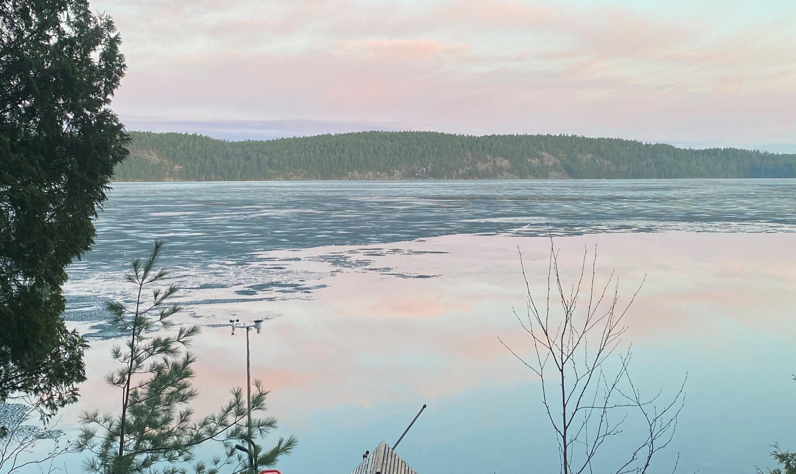
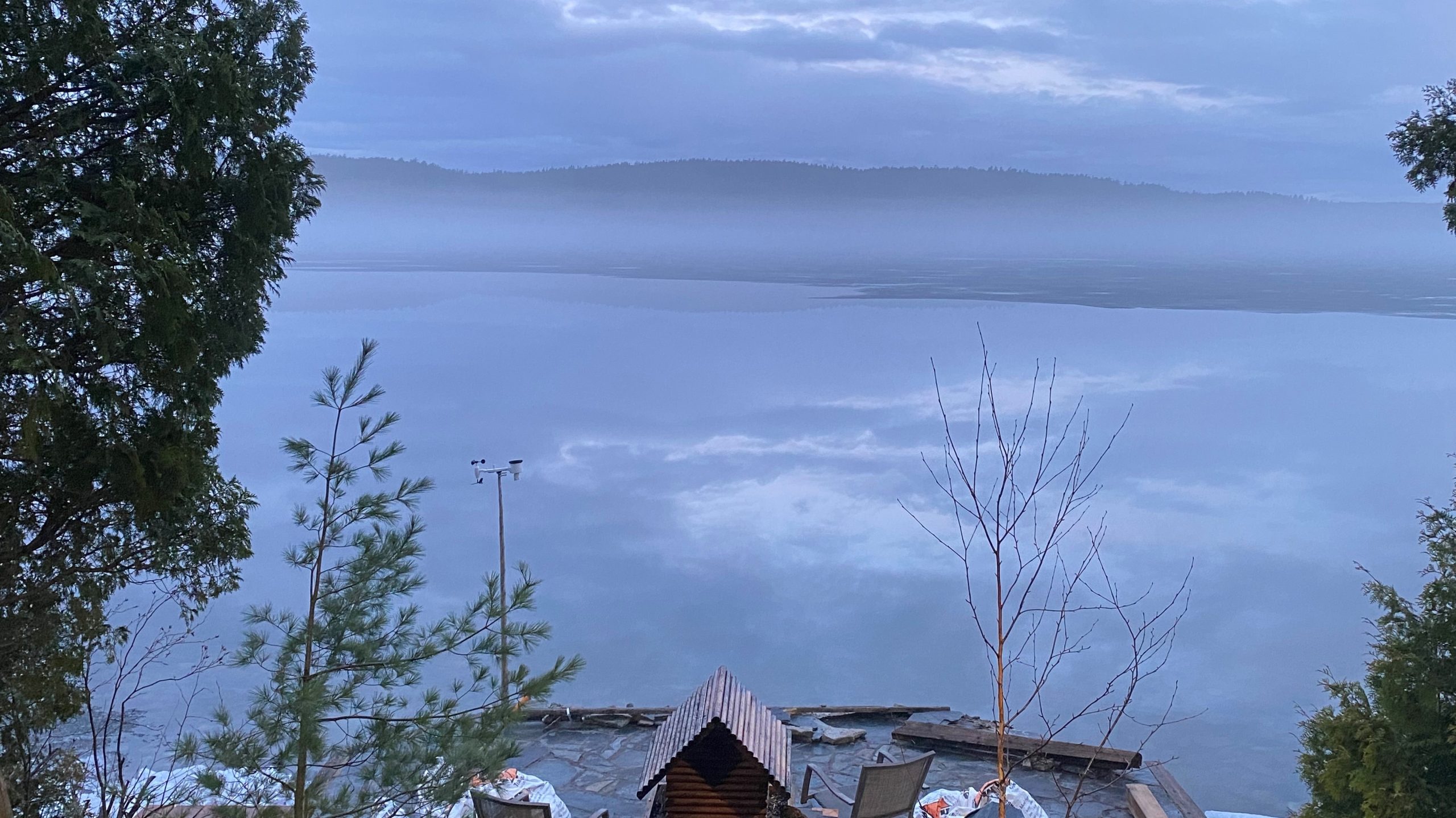
Looking toward the South Arm in the distance. (drone photo: by Aaron Nelles)
Looking from Wabikon toward High Rock. (photo by: Penny St. Germain)
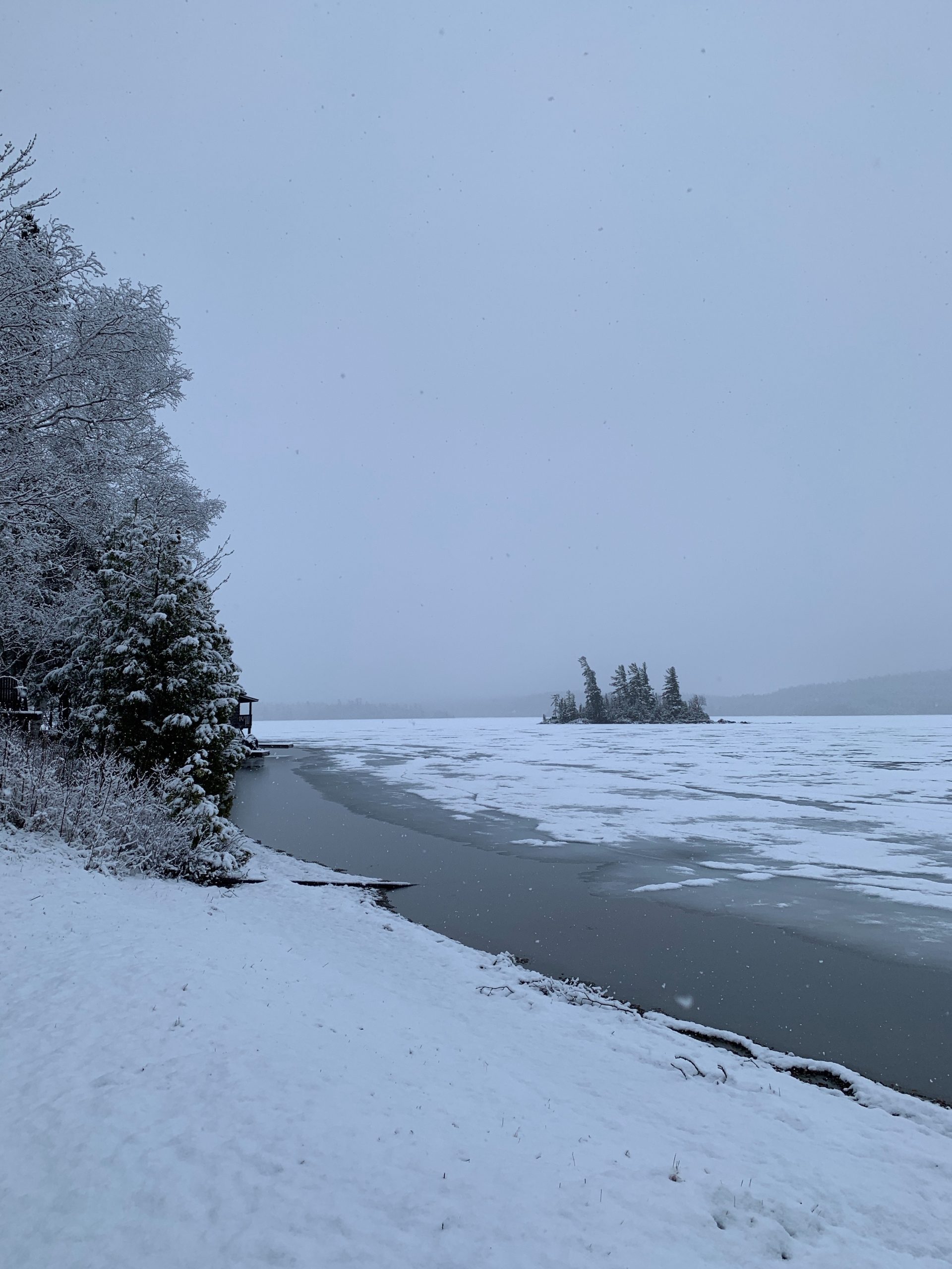
January 5, 2024:
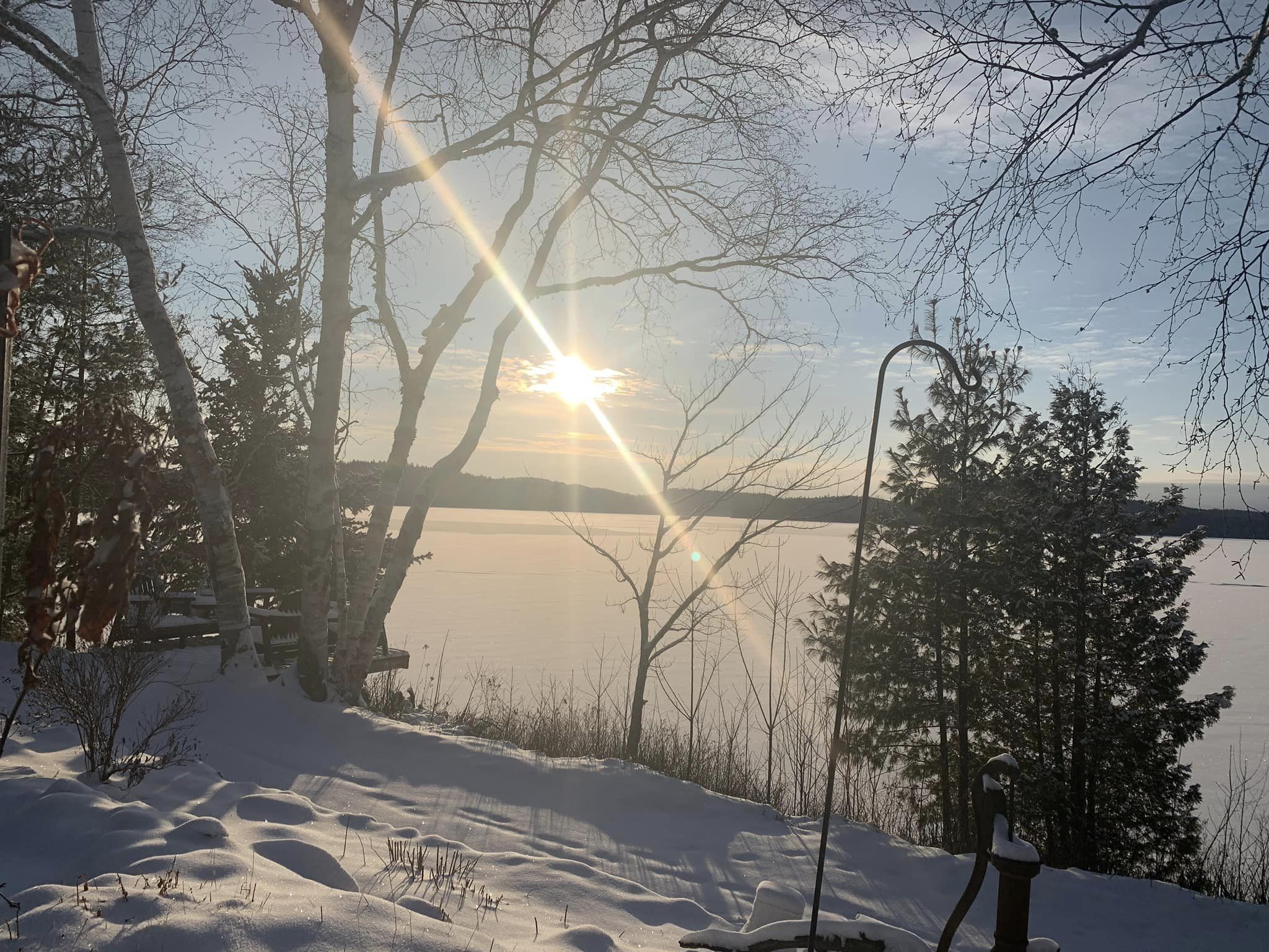
View from the top of Ferguson Mountain – looking south down the North Arm toward Keewaydin. (photo by: Jacquelyn Hodgins)
December 22, 2023:
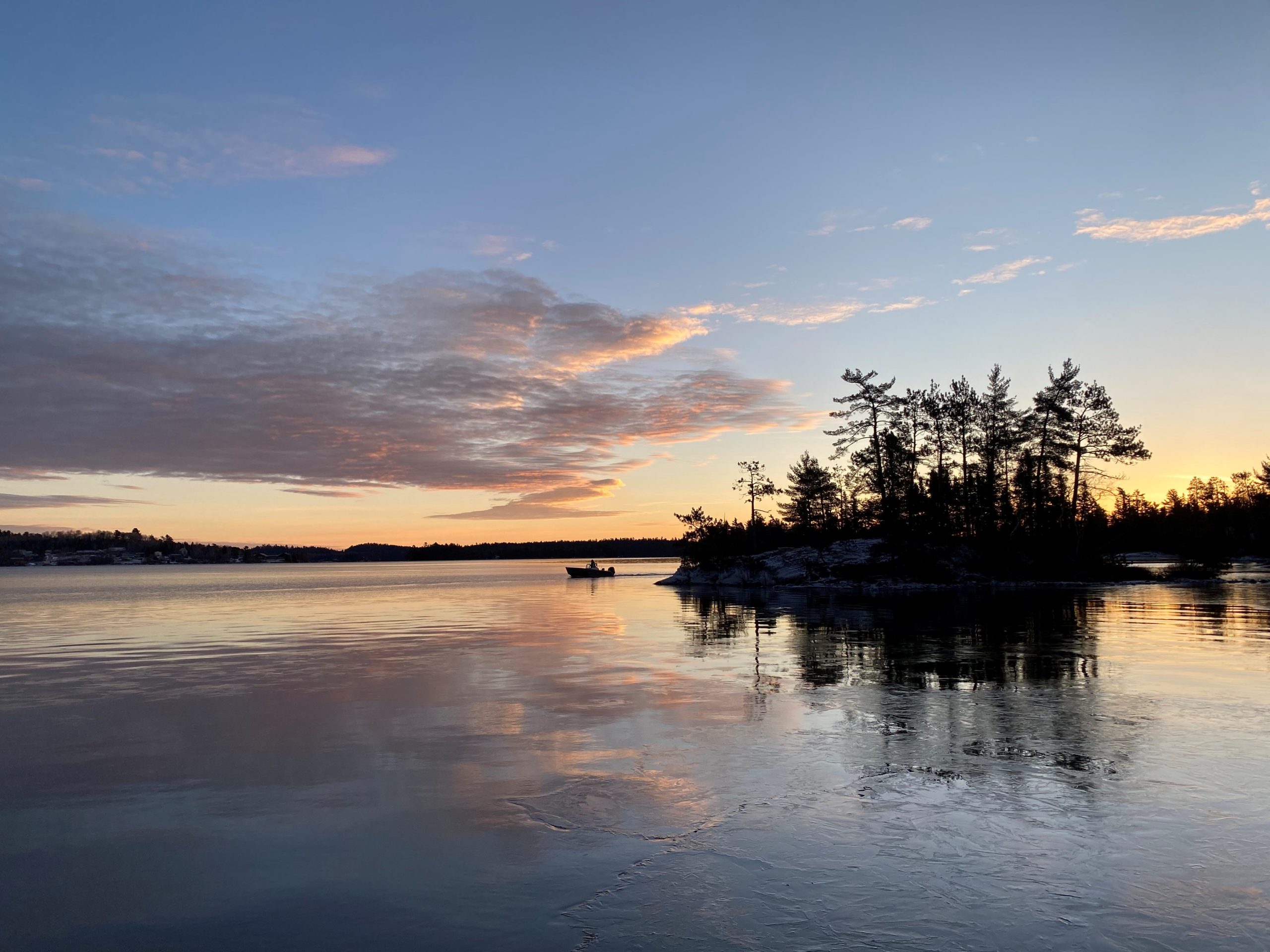
Sacha Stevens boats from Island 988 to her teaching job on Bear Island.
December 16, 2023:
Sunrise over Temagami Island. (photo by: Bob Farr)
December 15, 2023:
Breaking ice around White Bear. (photo by: Don Johnson)
December 3, 2023:
Clear skies over Northeastern Ontario yesterday resulted in the following satellite imagery. The smaller and shallower lakes in Temagami are starting to freeze (light blue). Lake Temagami’s shallow, protected Obabika Inlet and Kokoko Bay (yellow arrows) have ice on them, but the deeper Obabika and Kokoko Lakes beyond remain open.
Our ice-watch experts have been polled knowing reputations and prize money are at stake. The follower are their predictions for complete freeze-over of Lake Temagami.
- Jackie Hodgins: December 25th
- Sacha Stevens: December 26th
- Penny St. Germain: December 28th
- Bob Farr: December 30th
- Don Johnson: January 4th
Bob hopes to be snowmobiling to the landing from Bear Island by December 24th.
On November 30th, Don noted the surface temperature in the SW Arm was 5 C. The entire volume of the lake has to cool another degree before the surface will consistently freeze. That should take another week. The following usual 3-4 week freezing process should put the Freeze-Up date in early January.
We will see!
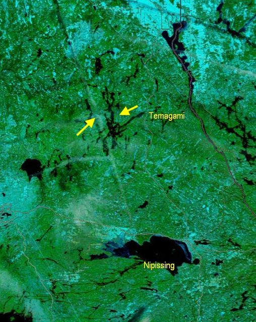
Image from NASA Terra-MODIS (photo courtesy of TLA meteorologist, Allan Eustis)
November 28, 2023:
With ice beginning to form on the back lakes and in the bays of Lake Temagami, we will continue the tradition began on Ottertooth.com in 2002 and track this winter’s freeze-up. Our “official” date will be when Lake Temagami – the largest, deepest lake in the Muncipality – has no evident open water.
Once again we have a crack team of observers located in the North, South, and Southwest Arms, and the Hub, along with satellite and aerial imagery (when available).
Bob Farr has been observing freeze-up for 53 years. Recent, consistent, cold temperatures have Bob optimistic that this year’s event will occur more rapidly than last year, when residents were island bound for three weeks or more. Temperatures have already dipped as low as -15 C this month.
Stay tuned for updates as freeze-up progresses.
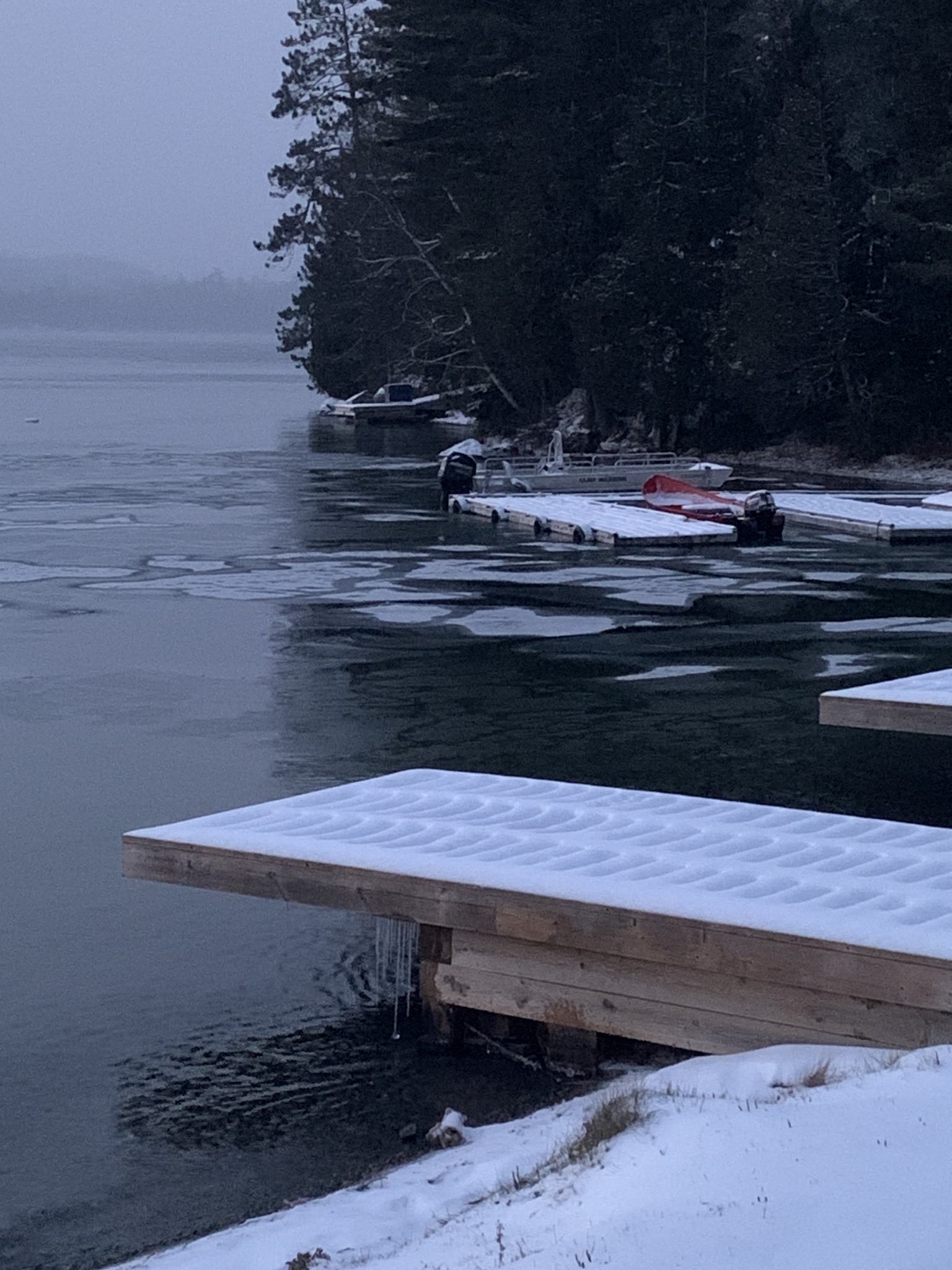
At the Wabikon Docks: photo by Penny St. Germain
November 27, 2023:
The View from Island 988: photo by Sacha Stevens (November 27, 2023)
Record of Freeze-Up Dates (Source: www.ottertooth.com/temagami.htm)
| Year: | Date: | Observation Point: | Observer: |
| 2002 | December 17 | Garden Island | Glen Toogood |
| 2003/2004 | December 15 January 10 | Garden Island Cattle Island |
Glen Toogood Bob Farr |
| 2004 | December 24 | Garden Island | Glen Toogood |
| 2005 | December 13 | Garden Island | Glen Toogood |
| 2006 | December 29 January 16 | Garden Island | Glen Toogood |
| 2007 | December 15 | Garden Island | Glen Toogood |
| 2008 | December 18 | Satellite | n/a |
| 2009/2010 | January 13 | Estimate | n/a |
| 2010 | December 18 | Estimate | Bob Farr |
| 2011 | December 29 | Bear Island | Bob Farr |
| 2012 | December 27 | Satellite | n/a |
| 2013 | December 14 | Satellite | n/a |
| 2014 | December 29 | Chimo Island | Steve Battis |
| 2015/2016 | January 13 | Chimo Island | Terry Delachevrotiere |
| 2016/2017 | January 1 | Narrows Island, Flyover | Steve Battis, Ron Miller |
| 2017 | December 17 | Satellite | n/a |
| 2018 | December 23 | Bear Island | Bob Farr |
| 2019 | December 19 | Bear Island, Southwest Arm | Bob Farr, Steve Battis |
| 2020 | December 19 | Bear Island, North Arm, Temagami Island | Bob Farr, Penny St. Germain , Dave Wilfong |
| 2021/2022 | Jan. 1, 2022 | Bear Island, islands near Cattle Island, Temagami Island | Bob Farr, Penny St. Germain, Paul and Andra TenWesteneind, Sacha Stevens |
| 2022/2023 | Jan. 10, 2023 | Wabikon | Penny St. Germain |
TLA-Recorded Dates:
2023/2024 Jan. 7, 2024 Wabikon Don Johnson
****************************************************************************************************
BREAK-UP WATCH 2023
The TLA is excited to announce we have assembled a crack team of correspondents who will be reporting the progression of ice break-up and recording the “Official” Ice-Out Day – when Lake Temagami is completely ice free. We are proud to continue the 20+ year tradition and excellent work of Brian Back at Ottertooth.com.
We have reporters stationed in the South, Southwest, North Arms, and the Hub sharing boots-on-the-ground progress. In addition, we look forward to providing aerial and satellite imagery, weather permitting. Overcast conditions in Northeastern Ontario the last few days have precluded recent satellite phots.
Our expert observers are as follows:
- Bob Farr (Bear Island)
- Jackie Hodgins (Wanapitei)
- Don Johnson + Nolan Jorgenson (SW Arm)
- Ron Miller (flyovers from North Bay)
- Bruce Rice (South Arm)
- Sacha Stephens (Western Hub)
- Penny St. Germain (Wabikon)
Stay tuned for regular updates on the TLA Member Community Facebook page (www.facebook.com/groups/211206275926832), as well as complete coverage, photos, and comprehensive historical data on the TLA website.
~ Paul Tamburro
May 8, 2023: ICE OUT
Ron Miller did an aerial survey of Lake Temagami this morning and spotted a single remaining patch of ice in a small bay off the North Arm. Presumably the ice melted by this afternoon. Thus, we are calling May 8, 2023 “Ice Out”.
Special thanks to Bob Farr, Jackie Hodgins, Don Johnson, Nolan Jorgenson, Ron Miller, Bruce Rice, Sacha Steven, and Penny St. Germain for their detailed reporting from land, sea (well, actually, lake), and air.
It’s a three-way tie for Bob Farr, Jackie Hodgins, and Penny St. Germain, who all came closest with their initial ice-out predictions of May 10th.
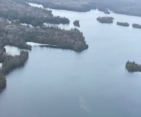
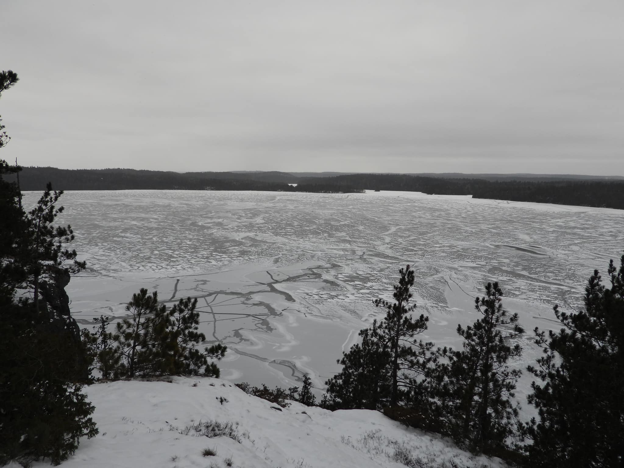
The final holdout spot was in the North Arm – west of Horseshoe Island; photo by Ron Miller (May 8, 2023)
May 6, 2023:
According to Bob Farr, no wind last night with a full moon and clear skies resulted in probably 50% or more of the lake surface freezing over again. It’s a thin layer – in most places, just a skim. The watch continues.
And just like that we have ice. Melting fast thankfully!: photo by Penny St. Germain at Wabikon (May 6, 2023)
We still have ice too … and made some new stuff, as well.: photo by Sacha Stevens, Island 988 (May 6, 2023)
May 5, 2023:
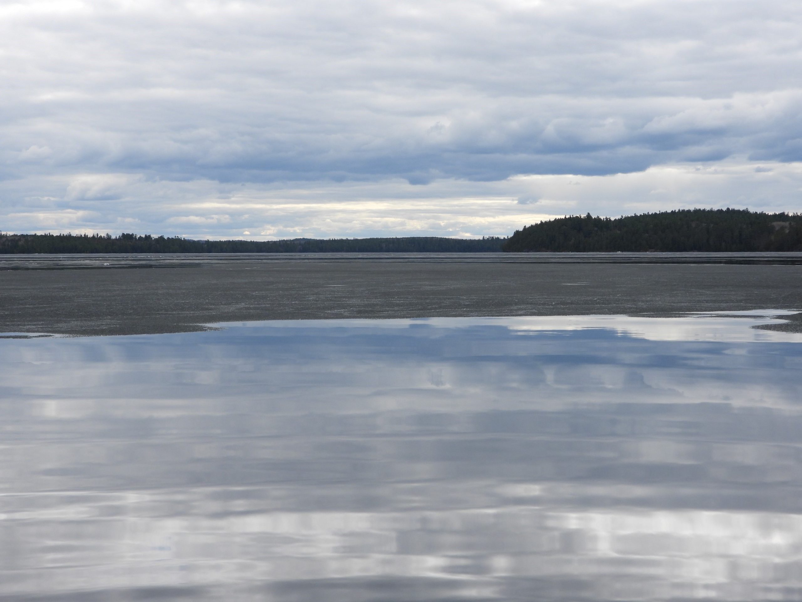
The Hub and SW Arm are largely open, with plenty of boat travel occurring. They water is completely ice free, however, and there is plenty of floating debris.
It’s a different story in the north and the south. Bruce Rice reports that the South Arm remains somewhat locked in. Likewise, Jackie Hodgins was unable to boat from Wanapitei to Keewaydin yesterday afternoon due to and ice jam south of Ferguson Mountain.
Overcast skies have thwarted useful satellite imagery for the past seven days, so we cannot provide a big-picture analysis. Presumably, the smaller lakes in the region are mostly ice free.
view from Ogama Island: photo by Gerry Gooderham (May 5, 2023)
still have ice about a km out, but suspect it will be gone by the end of the day: photo by Sacha Stevens, Island 988 (May 5, 2023)
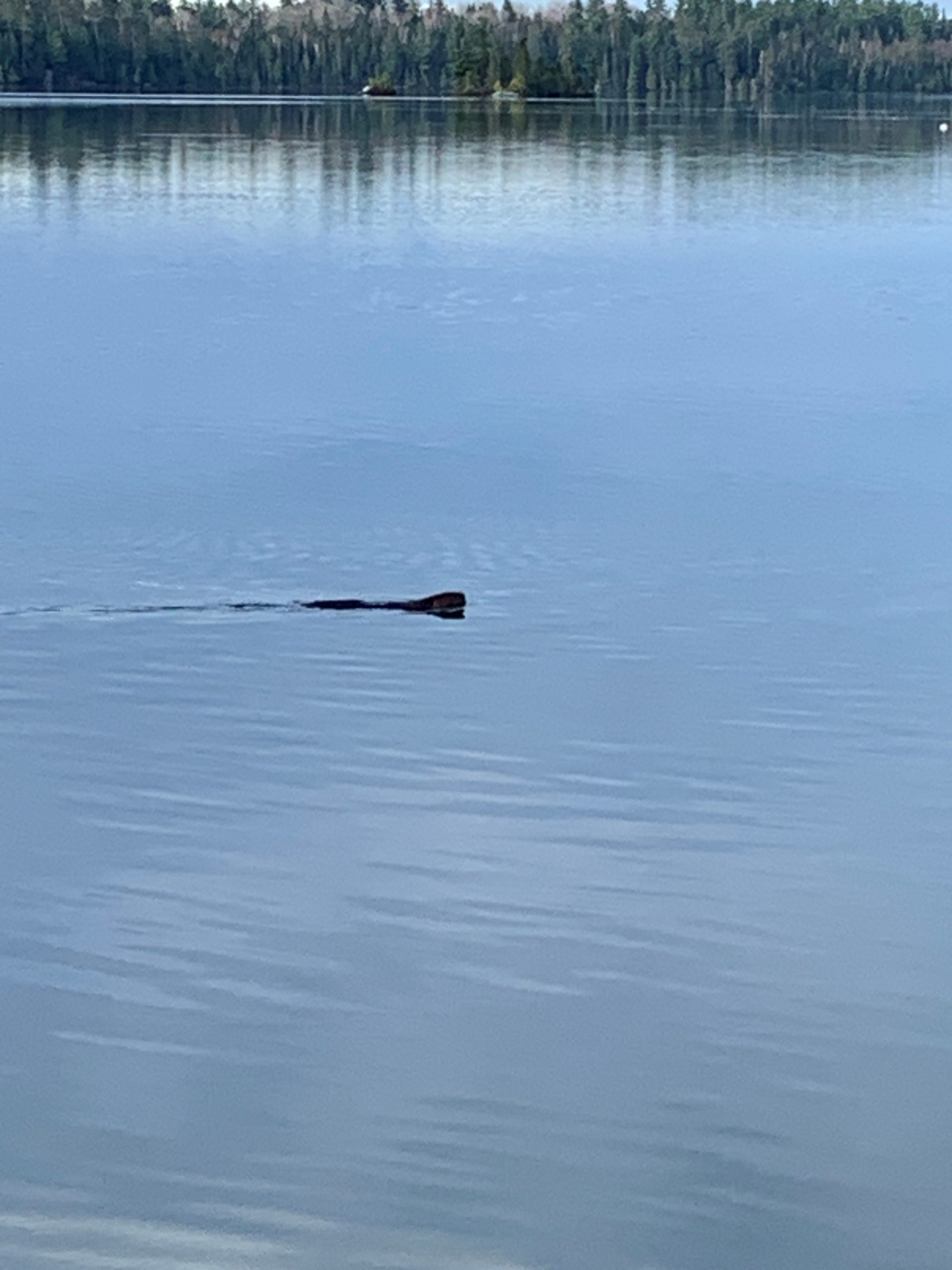
an eager beaver near Wabikon: photo by Penny St. Germain (May 5, 2023)
From Jackie Hodgins at Camp Wanapitei (May 5, 2023): I can officially make it to open water and down past Rabbitnose (and, I would guess, all the way to the landing).
My journey was not ice free, but I could easily push through. However, the North Arm towards Whitefish Bay, and Devil’s and Granny’s Bay was completely covered with ice (and not passable, as far as I could tell).
looking from Red Pine Island (across from Keewaydin) up the North Arm towards Whitefish Bay: photo by Jackie Hodgins (May 5, 2023)

looking towards Rabbitnose (in the far distance) from south of Keewaydin; now clear of ice: photo by Jackie Hodgins (May 5, 2023)
May 4, 2023:
A neighbour travelled to the landing late yesterdsay afternoon, but it was not easy (from Canusa to landing, he had to move around many pieces of the ice road). The airboat could be heard several times in the afternoon breaking up ice. Now there are lots of pieces floating around in front of Wabikon and some of them appear to be really thick. Debris (e.g., big logs) can also seen.: photo by Penny St. Germain (May 4, 2023)
From Jackie Hodgins at Camp Wanapitei (May 4, 2023): What a strange break-up. Our bay has been free of ice for several days, and we assumed it would be clear sailing. After getting the boat in the water, my daughter and I loaded up expecting to get to the landing or Rabbitnose. Much to our surprise, 1 kilometer south of Ferguson Mountain it was frozen completely across the lake with no channels along the shore. The ice is 3” thick. We could jam through it if we were desperate; however as far as the eye could see, it was totally frozen. We will head out again tomorrow to report in.
looking north in Ferguson Bay – from the ice edge towards Ferguson Mountain and no ice: photo by Jackie Hodgins (May 4, 2023)

looking south in Ferguson Bay and zoomed in to Devil’s Mountain: photo by Jackie Hodgins (May 4, 2023)
looking south (1 km south of Ferguson Mountain): photo by Jackie Hodgins (May 4, 2023)
May 3, 2023:
Following common Lake Temagami break-up patterns, the SW Arm is mostly clear, with minimal, residual broken ice in the back bays (as reported by Don Johnson and Nolan Jorgenson).
There is still ice in the South Arm, according to Bruce Rice.
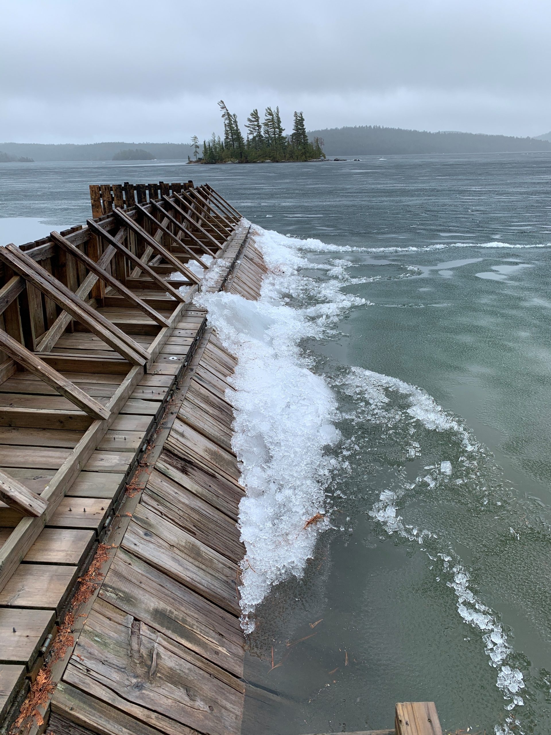
Sacha Stevens and Penny St. Germain, reporting from the Hub, note some ice-battered dock damage – particularly for north- and east-facing docks.
This image is looking south from Wabikon toward High Rock. The Wabikon tower has been pushed over on its crib; however, the area is nearly ice free this morning! Boaters will likely be going by today.: photo by Penny St. Germain (May 3, 2023)
This is looking east from Island 988. There is ice all the way to Penny Carroll’s place, and across to the Smellies, but after that, it’s clear to Bear Island. Lots damage has occurred on the north and west side of the island due to ice piling up.: photo by Sacha Stevens (May 3, 2023)
May 2, 2023:
Two days of rain and favourable temperatures caused the ice to crumble and steadily dissolve like cubes in a glass.
Then yesterday afternoon, the wind began stirring the drink. Jackie Hodgins is reporting large ice chunks washing ashore in Sandy Inlet, and 6-inch-thick sheets batter Don Johnson’s dock in the Southwest Arm.
In front of Wabikon, the ice is so fragile that Penny St. Germain watches as the green marker easily slices thru the wind-driven ice.
Bob Farr reports the first successful boat travel Monday between Bear Island and the landing.
It’s raining again this morning and the Lake is transitioning quickly from hard water to soft. In fact, Bob, our esteemed senior observer, is fast-forwarding his “Official Ice Out Prediction” to May 8th.
looking southwest from Camp Wanapitei toward Ferguson Mountain: photo by Jackie Hodgins (May 2, 2023)
looking northwest from Camp Wanapite toward Napoleon Mountain: photo by Jackie Hodgins (May 2, 2023)
The is looking southwest from Camp White Bear. There is about 2/3 ice and1/3 water in the area. The ice that remains is 4″ thick, with candling and bends. What a difference a day makes.: photo by Don Johnson (May 2, 2023)
looking at some of the ice pushed up on shore at Camp White Bear; in the background you can see our bent-up dock: photo by Don Johnson (May 2, 2023)
May 1, 2023:
Our weather station recorded about 50 mm of rain yesterday! It is certainly beating that ice up in lieu of sunshine! It continues to rain today thinning our ice; however some spots are thicker than expected. Our ice has come back to the shoreline here a bit, so there is some movement happening this morning. Some people are reporting boats in the water yesterday trying to break ice, but it’s not quite ready yet. We don’t have a high enough water level here to slip our boat down the ramp. We hope to be able to do that in the next few days and start breaking ice to Bear Island. Their air boat has been running twice a week, so breaking ice should be good mid week!: photo by Sacha Stevens, Island 988 (May 1, 2023)
From Jackie Hodgins at Camp Wanapitei (May 1, 2023): Every break-up is unique. A week ago, I would never have predicted the big change in receding ice. Mother Nature likes to keep us guessing. The skies, so full of moisture, have created incredible hues in the ice – black, green, white, and beige. The ice has let go of the shore everywhere up on the north end of the Lake. Once these continuous downpours recede and if the winds come up, I believe we could have some big chunks crashing up on shore.
There is not much change in front of Wabikon, but melting a little more off the shore (a bit of movement southwest, but basically the same).: photo by Penny St. Germain (May 1, 2023)

another view from Wabikon: photo by Penny St. Germain (May 1, 2023)
Not much movement near Wabikon in the last hour, as ice is probably hung up on the shore. The green marker in front is staying up as the ice drags by (so, the ice must be pretty rotted). It is candling at the main dock and the shoreline.: photo by Penny St. Germain (May 1, 2023)
Ice is moving down near White Bear (Island 488). The ice in the picture is 6″ thick and still fairly solid. The movement has pushed up one corner of my dock.; photo by Don Johnson (May 1, 2023)
April 30, 2023:
Good last day of April! We have lost at least 2-3″ of ice and it has gone out about 10-15 feet!: photo by Sacha Stevens, Island 988 (April 30, 2023)
Looking west from the Bear Island store towards Sacha’s place (Island 988). You can tell how cool and dreary the weather is. The ice just sits there and slowly melts away, but it did move a bit against the shore in places yesterday. One good southwest wind will really help, but I don’t see that in the forecast – only cool, rainy weather.: photo by Bob Farr (April 30, 2023)
looking southwest from Camp Wanapitei towards Pickerel Bay: photo by Jackie Hodgins (April 30, 2023)
looking northwest from Camp Wanapitei towards Napoleon Mountain: photo by Jackie Hodgins (April 30, 2023)
looking southwest from Camp Wanapitei towards Ferguson Mountain, with the Red Squirrel River flowing over the ice: photo by Jackie Hodgins (April 30, 2023)
April 28, 2023:
looking east from Island 988 toward Bear Island: photo by Sacha Stevens (April 28, 2023)
looking north from Island 988 toward Island 1005: photo by Sacha Stevens (April 28, 2023)
looking southwest from Island 855 in the South Arm: photo by Bruce Rice (April 28, 2023)
looking from Camp Tamar (Island 856) toward to very bottom of the South Arm: photo by Bruce Rice, (April 28, 2023)
looking southwest from Camp White Bear (Island 488) in the SW Arm: photo by Don Johnson (April 28, 2023)
aerial image from Town of Temagami looking northeast: photo by Ron Miller (April 28, 2023)
aerial image from NE Arm looking southwest: photo by Ron Miller (April 28, 2023)
April 27, 2023:
looking south from Camp Wanapitei in Sandy Inlet: photo by Jackie Hodgins (April 27, 2023)
April 26, 2023:
launching a steel boat with submerged ice underneath at Island 488: photo by Don Johnson (April 26, 2023)
April 24, 2023:
from Camp Wabikon: photo by Penny St. Germain (April 24, 2023)
Water Quality:
Environmental Water Testing 2014
Water Testing:
Interpreting Total Phosphorus and Secchi-Depth Data
Lake Temagami Total Phosphorus Sampling Map (2019)
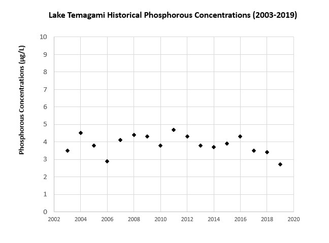
Historical Phosphorus Levels on Lake Temagami (2003 to 2019)
Water Levels:
Ontario Power Generation Water-Level Monitoring Equipment
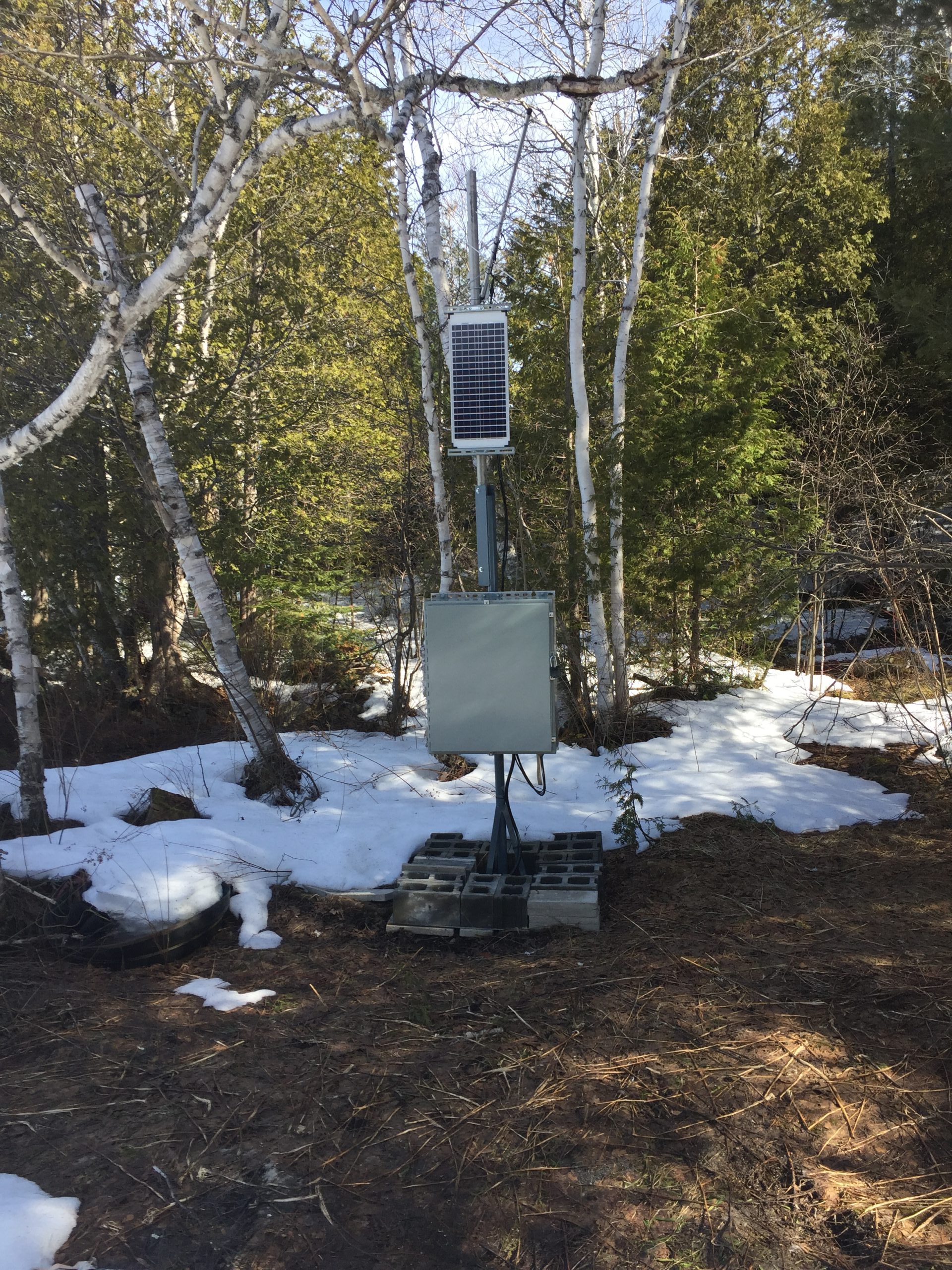
Water-Level Monitoring Equipment Consisting of a Solar Panel, Battery, and Small Computer – Spring 2020 (photo by Peter Healy)
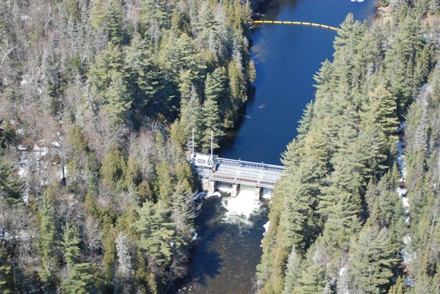
Cross Lake Dam (photo by Ron Miller)