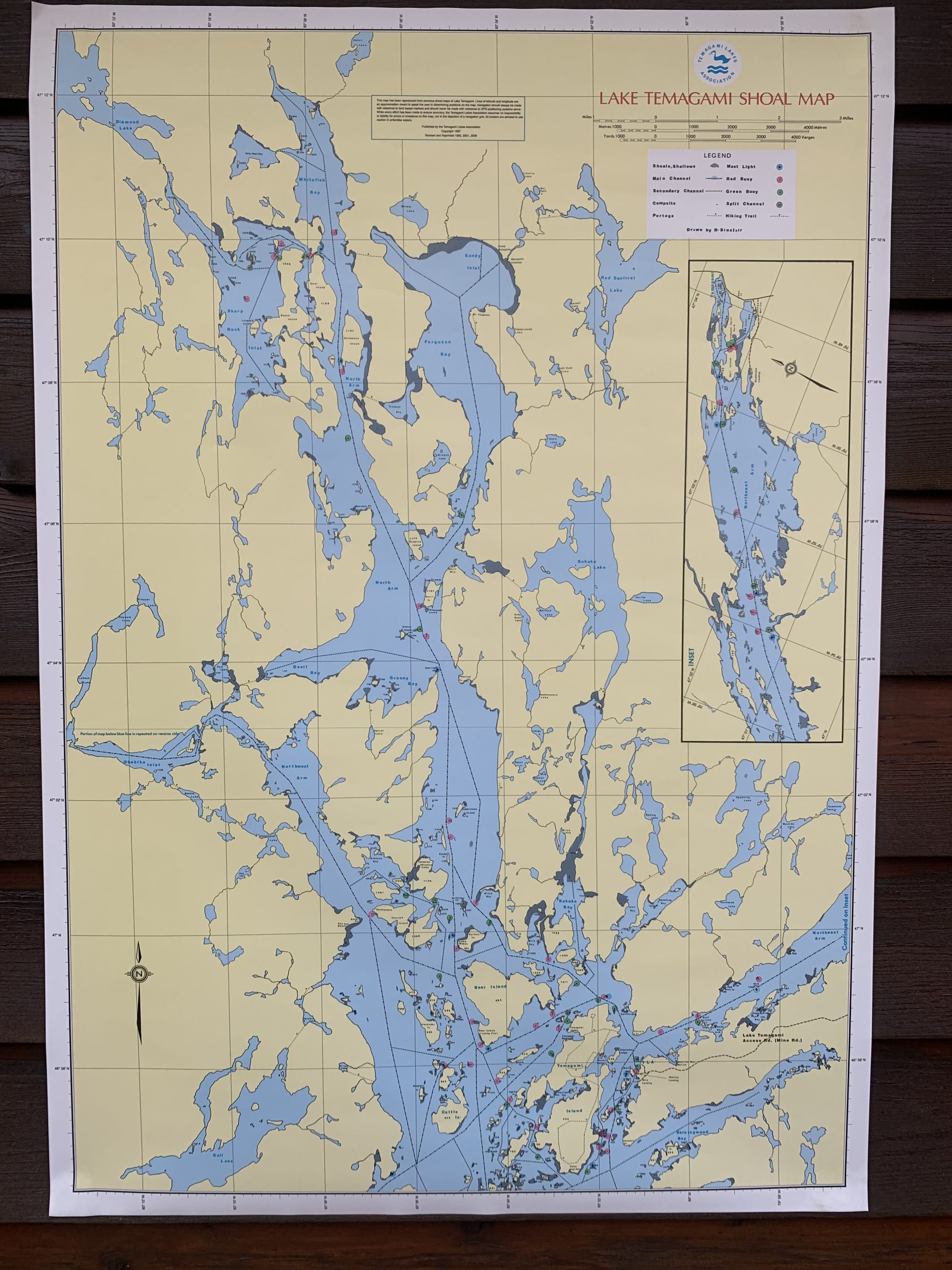
Lake Temagami Shoal Map
Price range: $30.00 through $40.00
These maps show buoys that are placed by the Municipality of Temagami, as well as the approximate location of Lake Temagami Islands.
They are water resistant and printed on two sides (north section of map on one side and south section on the other). Their dimensions are approximately: 24.0” (60.0 cm) wide x 34.5” (86.25 cm) long.
Maps can be picked up at the TLA Headquarters Building during the summer months. Please contact the TLA if you want an item shipped to a Canadian address (for an additional fee). Regrettably, due to changes in customs procedures, merchandise cannot be shipped to the United States at this time.
Related products
-

TLA History Book
Price range: $15.00 through $30.00 Select options This product has multiple variants. The options may be chosen on the product page -
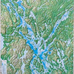
Lake Temagami Decorative Wall Map
Price range: $25.00 through $35.00 Select options This product has multiple variants. The options may be chosen on the product page